Gull Rocks Light, Newport

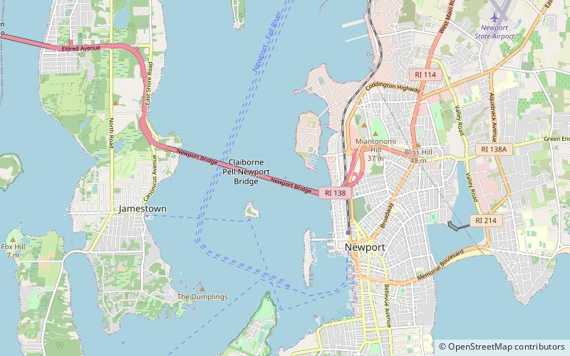
Map
Facts and practical information
The Gull Rocks Light was a lighthouse at the entrance to Newport harbor northwest of Rose Island. A unique A-frame structure, it was supplemented with a skeleton tower in 1928. ()
Coordinates: 41°30'9"N, 71°19'59"W
Address
Newport
ContactAdd
Social media
Add
Day trips
Gull Rocks Light – popular in the area (distance from the attraction)
Nearby attractions include: Cardines Field, Claiborne Pell Newport Bridge, Common Burying Ground and Island Cemetery, Miantonomi Memorial Park.
Frequently Asked Questions (FAQ)
Which popular attractions are close to Gull Rocks Light?
Nearby attractions include Naval War College, Newport (11 min walk), Naval War College Museum, Newport (12 min walk), Claiborne Pell Newport Bridge, Newport (12 min walk), Coasters Harbor Island, Newport (15 min walk).
How to get to Gull Rocks Light by public transport?
The nearest stations to Gull Rocks Light:
Bus
Bus
- Newport Gateway Center Stop D • Lines: 14 (28 min walk)
- Newport Gateway Center Stop C • Lines: 60 (28 min walk)


