Barnstable Harbor, Barnstable
Map

Map

Facts and practical information
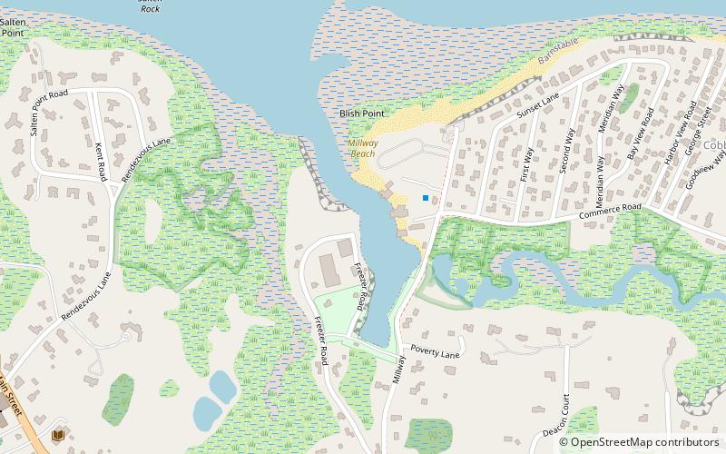
Barnstable Harbor is a natural harbor located in Barnstable, Massachusetts that is sheltered by Sandy Neck to the north and the city of Barnstable to the south. The inner harbor is mostly dredged, while the outer harbor is natural. ()
Coordinates: 41°42'25"N, 70°18'0"W
Address
399 MillwayMid Cape (Cobbs Village)Barnstable 02630
ContactAdd
Social media
Add
Day trips
Barnstable Harbor – popular in the area (distance from the attraction)
Nearby attractions include: Barnstable Market, Sandy Neck Light, United States Customshouse, Sturgis Library.
Frequently Asked Questions (FAQ)
Which popular attractions are close to Barnstable Harbor?
Nearby attractions include Mill Way Historic District, Barnstable (7 min walk), Barnstable Market, Barnstable (11 min walk), Sturgis Library, Barnstable (12 min walk), United States Customshouse, Barnstable (13 min walk).


