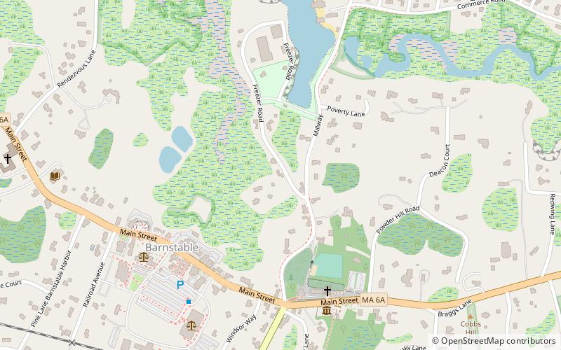
Mill Way Historic District, Barnstable
Map
Facts and practical information
The Mill Way Historic District encompasses a residential area significant in the development of the maritime industry in Barnstable Village, Massachusetts. It includes thirteen houses, ten on Mill Way and three on adjacent Freezer Road, just north of the Old King's Highway. The district was listed on the National Register of Historic Places in 1987. ()
Coordinates: 41°42'12"N, 70°18'1"W
Address
Mid Cape (Cobbs Village)Barnstable
ContactAdd
Social media
Add
Day trips
Mill Way Historic District – popular in the area (distance from the attraction)
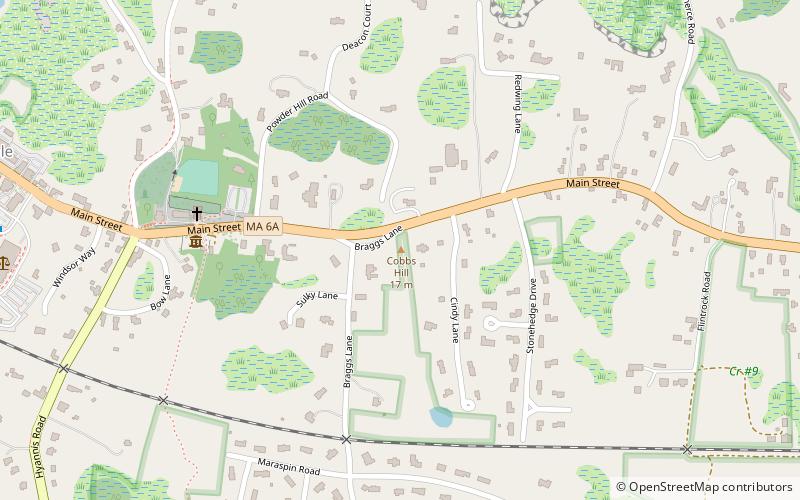
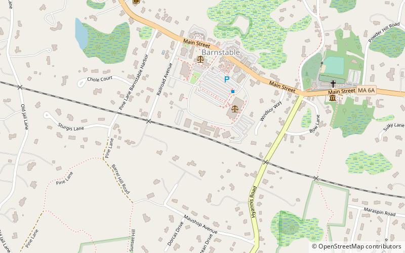
Nearby attractions include: Barnstable Market, United States Customshouse, Sturgis Library, Old Jail.


Frequently Asked Questions (FAQ)
Which popular attractions are close to Mill Way Historic District?
Nearby attractions include Barnstable Market, Barnstable (5 min walk), United States Customshouse, Barnstable (6 min walk), Old Jail, Barnstable (7 min walk), Barnstable Harbor, Barnstable (7 min walk).