Price Hill, Cincinnati
Map

Gallery

Facts and practical information
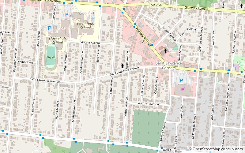
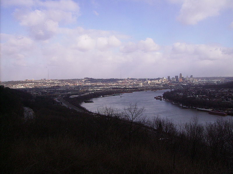
Price Hill is three neighborhoods of Cincinnati, Ohio, located north of Sedamsville and Riverside, south of Westwood and South Fairmount, and west of Queensgate. It is one of the oldest outlying settlements of Cincinnati, and includes parts of the zip codes 45205, 45238, and 45204. ()
Area: 6.32 mi²Coordinates: 39°6'36"N, 84°34'33"W
Address
East Price HillCincinnati
ContactAdd
Social media
Add
Day trips
Price Hill – popular in the area (distance from the attraction)
Nearby attractions include: Mt. Echo Park, St. Lawrence Church, Old St. Joseph's Cemetery, The Flats Art Gallery.
Frequently Asked Questions (FAQ)
Which popular attractions are close to Price Hill?
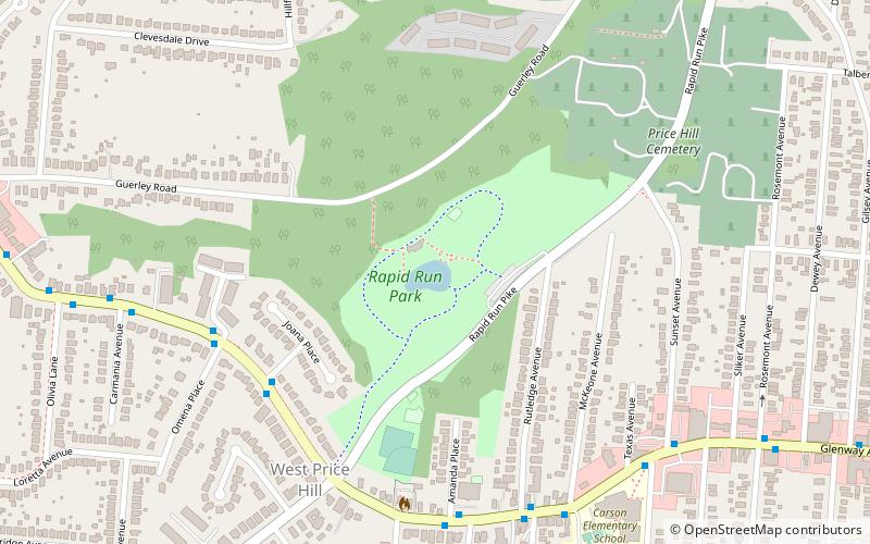
Nearby attractions include St. Lawrence Church, Cincinnati (5 min walk), Old St. Joseph's Cemetery, Cincinnati (13 min walk), The Flats Art Gallery, Cincinnati (20 min walk), Rapid Run Park, Cincinnati (23 min walk).
How to get to Price Hill by public transport?
The nearest stations to Price Hill:
Bus
Bus
- Warsaw Ave & Enright Ave • Lines: 33 (5 min walk)


