Rapid Run Park, Cincinnati
Map
Facts and practical information
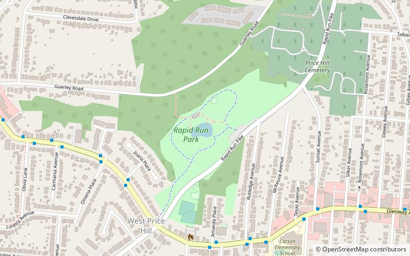
Rapid Run Park is an urban park in the Price Hill neighborhood of Cincinnati, Ohio, United States. ()
Elevation: 833 ft a.s.l.Coordinates: 39°7'1"N, 84°35'22"W
Address
West Price HillCincinnati
ContactAdd
Social media
Add
Getting there by public transportation
Public transportation stops near this location
- Bus
 Bus
Bus
- Calculate routeGlenway Ave & Amethyst St 6 min walk
Day trips


Frequently Asked Questions (FAQ)
Which popular attractions are close to Rapid Run Park?
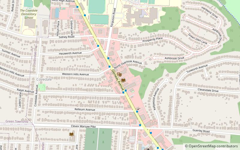
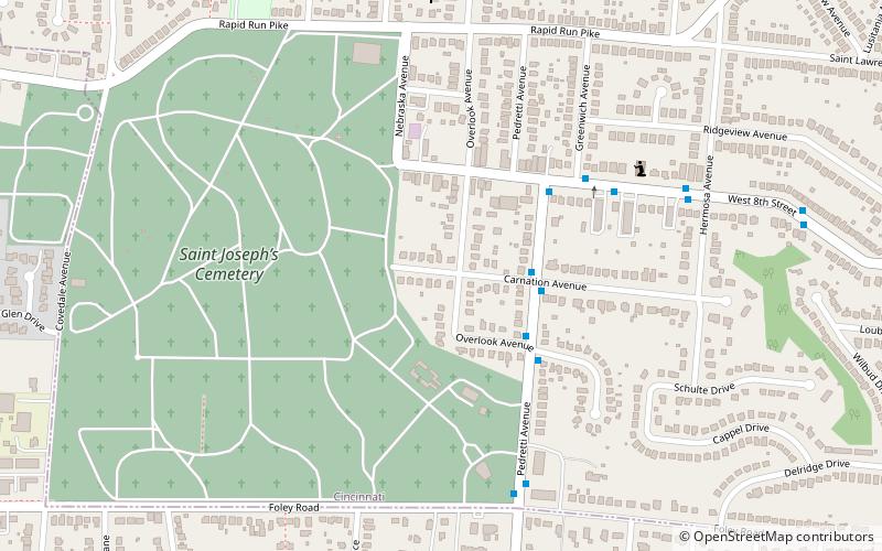
Nearby attractions include Covedale Center for the Performing Arts, Cincinnati (18 min walk), Union Baptist Cemetery, Cincinnati (19 min walk), Price Hill, Cincinnati (23 min walk), New St. Joseph Cemetery, Cincinnati (23 min walk).
How to get to Rapid Run Park by public transport?
The nearest stations to Rapid Run Park:
Bus
Bus
- Glenway Ave & Amethyst St • Lines: 33 (6 min walk)