The Strand, Providence
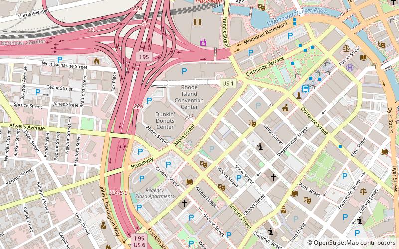
Map
Facts and practical information
The Strand Ballroom & Theatre is a live music venue located in downtown Providence, Rhode Island. The theatre opened in 1915 as a vaudeville theatre and later became a cinema and concert venue. ()
Opened: 12 June 1915 (110 years ago)Capacity: 1980Coordinates: 41°49'25"N, 71°24'60"W
Getting there by public transportation
Public transportation stops near this location
- Bus
- Train
 Bus
Bus
- Calculate routeKennedy Plaza Stop V 7 min walk
- Calculate routeKennedy Plaza Intermodal Transportation Center 7 min walk
- Calculate routeExchange Terrace Stop X 8 min walk
- Calculate routeKennedy Plaza Stop Y 8 min walk
- Calculate routeProvidence 11 min walk
Day trips


Frequently Asked Questions (FAQ)
Which popular attractions are close to The Strand?
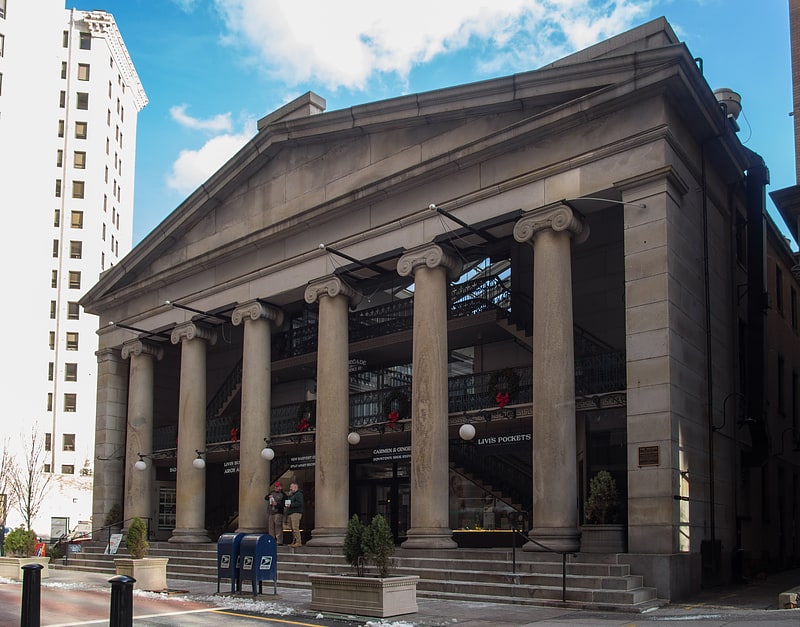
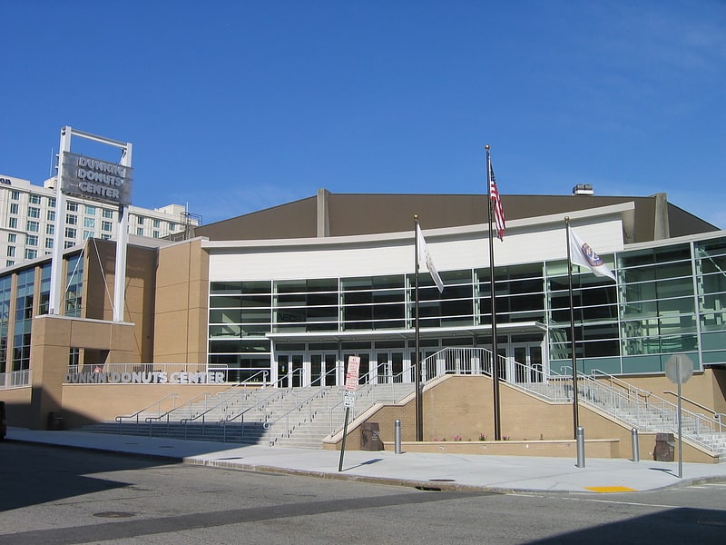
Nearby attractions include Dunkin' Donuts Center, Providence (2 min walk), Rhode Island Convention Center, Providence (2 min walk), Trinity Repertory Company, Providence (3 min walk), Providence Public Library, Providence (3 min walk).
How to get to The Strand by public transport?
The nearest stations to The Strand:
Bus
Train
Bus
- Kennedy Plaza Stop V • Lines: 56 (7 min walk)
- Kennedy Plaza Intermodal Transportation Center (7 min walk)
Train
- Providence (11 min walk)