Palm Walk, Tempe
Map

Map

Facts and practical information
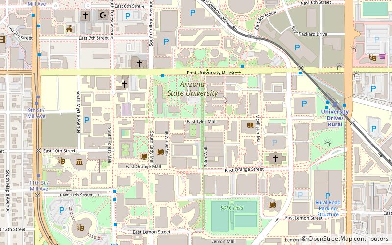
The Palm Walk is a pedestrian mall located on Arizona State University's Tempe campus that is lined with one hundred and five Mexican fan palms. Running from the foot of the University bridge to the north, to the Student Recreation Complex to the south, the path runs for almost four-tenths of a mile. The path itself follows the old alignment of Normal Avenue, before it was incorporated into the expanding college's campus. ()
Elevation: 1168 ft a.s.l.Coordinates: 33°25'12"N, 111°55'59"W
Day trips
Palm Walk – popular in the area (distance from the attraction)
Nearby attractions include: Karsten Golf Course, Sun Devil Stadium, Desert Financial Arena, Tempe Center for the Arts.
Frequently Asked Questions (FAQ)
Which popular attractions are close to Palm Walk?
Nearby attractions include Administration/Science Building, Tempe (2 min walk), Center for Meteorite Studies, Tempe (3 min walk), Hayden Library, Tempe (4 min walk), St. Mary's Church-Our Lady of Mount Carmel Catholic Church, Tempe (4 min walk).
How to get to Palm Walk by public transport?
The nearest stations to Palm Walk:
Bus
Tram
Bus
- FlixBus Tempe • Lines: 2201 (10 min walk)
- Flash Back • Lines: Flsh Eb (11 min walk)
Tram
- College Ave / Apache Blvd (11 min walk)
- 9th St / Mill Ave (11 min walk)


