Tempe Butte, Tempe
Map

Gallery

Facts and practical information
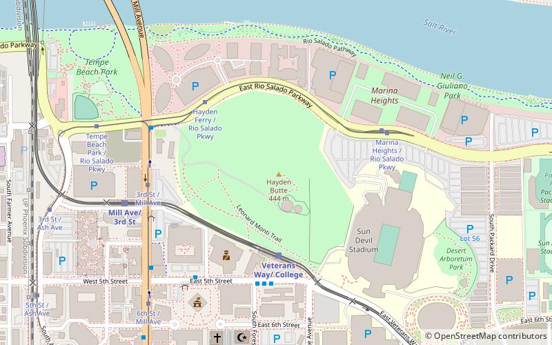
Tempe Butte is the official name of an andesite butte of volcanic origin, located partially on Arizona State University's Tempe campus in Tempe, Arizona. It is often referred to by locals as A Mountain, after the 60-foot-tall gold-painted letter 'A' near the top. Another name for the area, used by the City of Tempe, is Hayden Butte. ()
Elevation: 1495 ftProminence: 330 ftCoordinates: 33°25'42"N, 111°56'10"W
Day trips
Tempe Butte – popular in the area (distance from the attraction)
Nearby attractions include: Karsten Golf Course, Sun Devil Stadium, Desert Financial Arena, Tempe Center for the Arts.
Frequently Asked Questions (FAQ)
Which popular attractions are close to Tempe Butte?
Nearby attractions include Sun Devil Stadium, Tempe (6 min walk), Tempe Municipal Building, Tempe (7 min walk), Mill Avenue Bridges, Tempe (10 min walk), Arboretum at Arizona State University, Tempe (10 min walk).
How to get to Tempe Butte by public transport?
The nearest stations to Tempe Butte:
Bus
Tram
Bus
- Tempe Transportation Center (5 min walk)
- Flash Forward • Lines: Flsh Wb, Oe Eb, Oe Wb, Oj Nb, Oj Sb, Om Eb, Om Wb, Oma Nb, Oma Sb, Os Eb, Os Wb, Ov Eb, Ov Wb (5 min walk)
Tram
- Hayden Ferry / Rio Salado Pkwy (5 min walk)
- Marina Heights / Rio Salado Pkwy (6 min walk)


