Hastings Bridge, Hastings
Map

Map

Facts and practical information
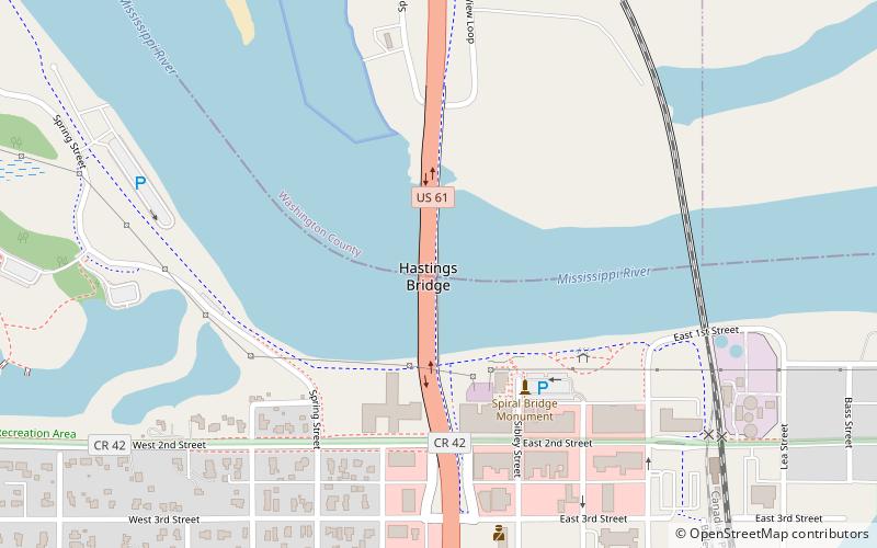
Hastings Rail Bridge is a vertical-lift bridge that spans the Mississippi River in Hastings, Minnesota. It is one of only four lift spans on the Mississippi River, the others being at Hannibal, Missouri, Burlington, Iowa and in downtown St. Paul, Minnesota. It was built in 1981 by Milwaukee Road and was designed by Howard, Needles, Tammen & Bergendoff. ()
Opened: 1981 (45 years ago)Length: 1755 ftCoordinates: 44°44'48"N, 92°51'10"W
Address
Hastings
ContactAdd
Social media
Add
Day trips
Hastings Bridge – popular in the area (distance from the attraction)
Nearby attractions include: Hastings City Hall, LeDuc Historic Estate, First Presbyterian Church, Hastings Methodist Episcopal Church.
Frequently Asked Questions (FAQ)
Which popular attractions are close to Hastings Bridge?
Nearby attractions include Hastings City Hall, Hastings (8 min walk), First Presbyterian Church, Hastings (12 min walk), Hastings Methodist Episcopal Church, Hastings (15 min walk), Lake Isabelle, Hastings (17 min walk).


