Lock and Dam No. 2, Hastings
Map

Gallery

Facts and practical information
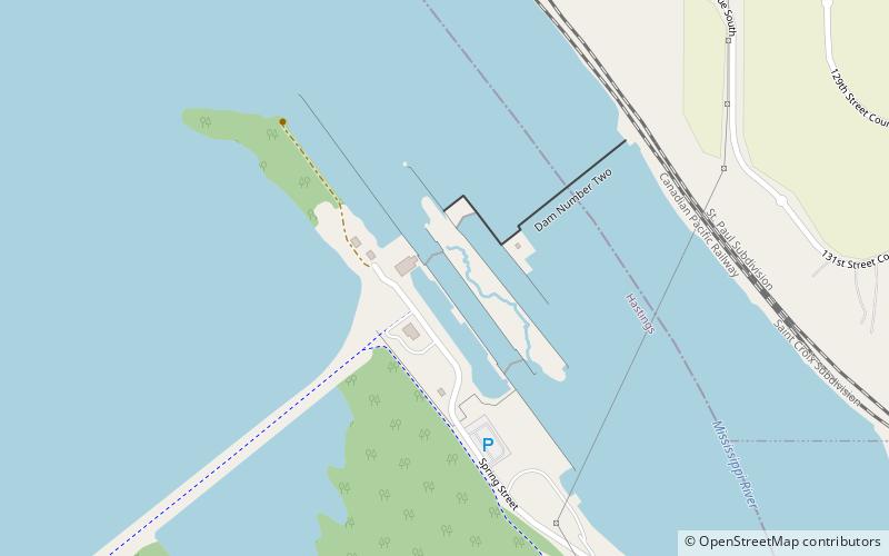
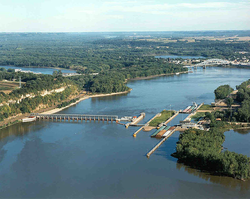
Lock and Dam No. 2 is located along the Upper Mississippi River near Hastings, Minnesota and construction commenced in 1927. The eastern dam portion is 722 feet wide and has 19 tainter gates. A hydroelectric station that produces about 4.4 megawatts is owned by the city of Hastings, while the 110 by 600 feet lock is operated by the St. Paul district of the U.S. Army Corps of Engineers' Mississippi Valley Division. There's also a wide earthen dam on the western side of the facility. ()
Opened: 1930 (96 years ago)Length: 722 ftCoordinates: 44°45'35"N, 92°52'7"W
Address
Hastings
ContactAdd
Social media
Add
Day trips
Lock and Dam No. 2 – popular in the area (distance from the attraction)
Nearby attractions include: Hastings City Hall, Hastings Bridge, LeDuc Historic Estate, Prescott Drawbridge.


