Hayward Regional Shoreline, Hayward

Gallery (2)
Map
Map
Gallery
Facts and practical information
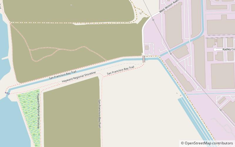
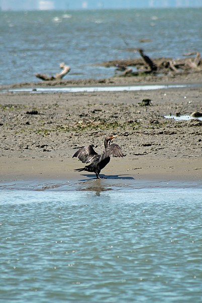
Hayward Regional Shoreline is a regional park located on the shores of the San Francisco Bay in Hayward, California. It is part of the East Bay Regional Parks system. The 1,713 acre park extends to the shores of San Lorenzo. Part of the park is former commercial salt flats purchased in 1996. A former landfill, now capped with soil and plants, is located in the park. The park includes the 250 acre tidal wetland, Cogswell Marsh, and the 364 acre Oro Loma Marsh. Located to the south of the park is the Hayward Shoreline Interpretive Center, which provides information on the Bay shore habitats. The San Francisco Bay Trail runs through the park, which connects the park with San Lorenzo Creek. ()
Elevation: 7 ft a.s.l.Coordinates: 37°38'47"N, 122°8'49"W
Getting there by public transportation
Public transportation stops near this location
- Bus
 Bus
Bus
- Calculate route21121 Cabot Boulevard 14 min walk
- Calculate routeCabot Boulevard & West Winton Avenue 16 min walk
Day trips


Frequently Asked Questions (FAQ)
Which popular attractions are close to Hayward Regional Shoreline?
Nearby attractions include Eden Landing, Hayward (13 min walk), Russell City, Hayward (22 min walk).
How to get to Hayward Regional Shoreline by public transport?
The nearest stations to Hayward Regional Shoreline:
Bus
Bus
- 21121 Cabot Boulevard • Lines: 86 (14 min walk)
- Cabot Boulevard & West Winton Avenue • Lines: 86 (16 min walk)