The Bay Lights, Oakland

Gallery (1)
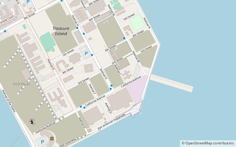
Map
Map
Facts and practical information
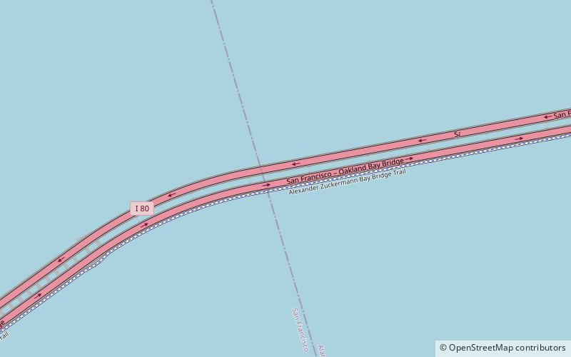
The Bay Lights is a site-specific monumental light sculpture and generative art installation on the western span of the San Francisco–Oakland Bay Bridge, designed to commemorate the 75th anniversary of its opening. The installation by light artist Leo Villareal includes 25,000 individual white LEDs along 1.8 miles of the cables on the north side of the suspension span of the bridge between Yerba Buena Island and San Francisco. The installation is controlled via a computer and displays changing patterns that are not meant to repeat. The opening ceremony was held on March 5, 2013. ()
Coordinates: 37°49'8"N, 122°20'56"W
Address
Oakland
ContactAdd
Social media
Add
Getting there by public transportation
Public transportation stops near this location
- Bus
 Bus
Bus
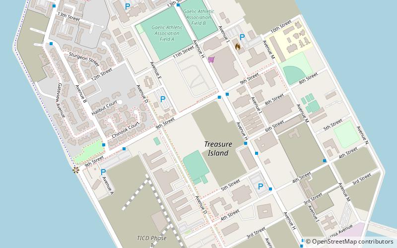
- Calculate routeAvenue M & 4th Street 25 min walk
- Calculate routeAvenue H & 9th Street 31 min walk
- Calculate route9th Street & Avenue H 32 min walk
Day trips


Frequently Asked Questions (FAQ)
Which popular attractions are close to The Bay Lights?
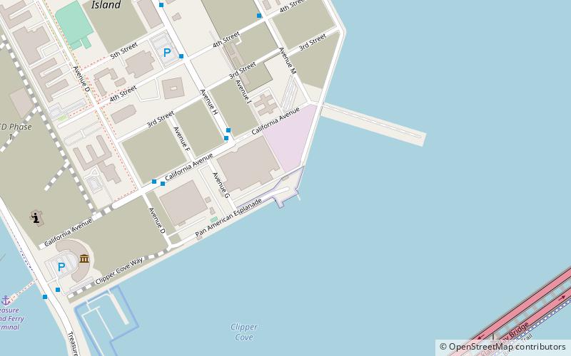
Nearby attractions include Eastern span replacement of the San Francisco–Oakland Bay Bridge, San Francisco (6 min walk), San Francisco–Oakland Bay Bridge, Oakland (13 min walk), Palace of Fine and Decorative Arts, San Francisco (22 min walk).
How to get to The Bay Lights by public transport?
The nearest stations to The Bay Lights:
Bus
Bus
- Avenue M & 4th Street • Lines: 25 (25 min walk)
- Avenue H & 9th Street • Lines: 25 (31 min walk)