Ray Sheeran Field, San Francisco
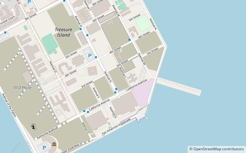
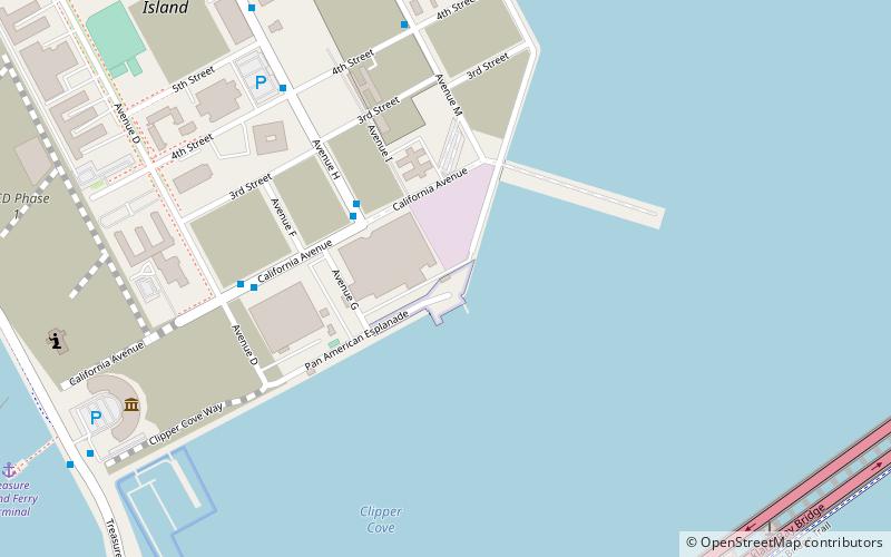
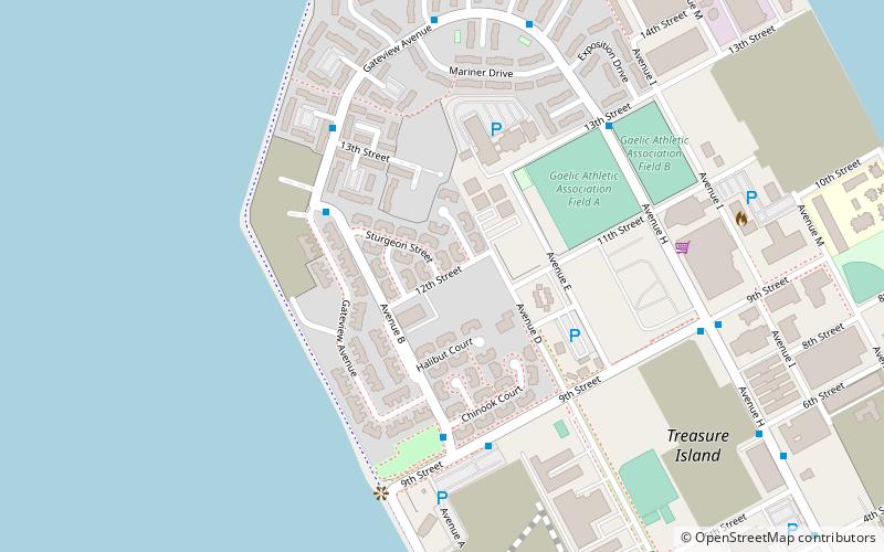
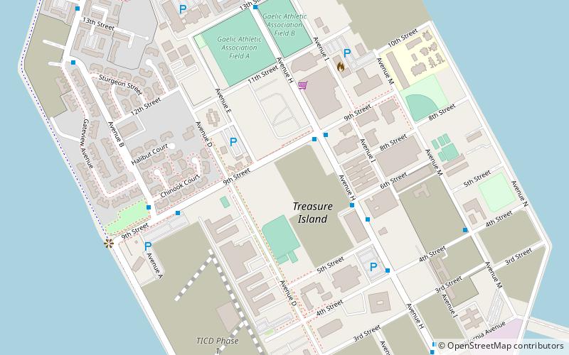
Map
Facts and practical information
Ray Sheeran Field is a rugby facility on Treasure Island in San Francisco, California that opened in 2005. The Gaelic Athletic Association and netball teams also use the facility. ()
Coordinates: 37°49'15"N, 122°21'58"W
Address
Treasure IslandSan Francisco
ContactAdd
Social media
Add
Getting there by public transportation
Public transportation stops near this location
- Bus
 Bus
Bus
- Calculate routeAvenue M & 4th Street 4 min walk
- Calculate routeAvenue H & 9th Street 10 min walk
- Calculate route9th Street & Avenue H 10 min walk
Maps Muni Metro
Muni MetroDay trips
Ray Sheeran Field – popular in the area (distance from the attraction)
Nearby attractions include: Administration Building, Yerba Buena Light, Eastern span replacement of the San Francisco–Oakland Bay Bridge, Palace of Fine and Decorative Arts.


Frequently Asked Questions (FAQ)
Which popular attractions are close to Ray Sheeran Field?
Nearby attractions include Palace of Fine and Decorative Arts, San Francisco (4 min walk), Art in Action, San Francisco (10 min walk), Administration Building, San Francisco (10 min walk), Treasure Island, San Francisco (11 min walk).
How to get to Ray Sheeran Field by public transport?
The nearest stations to Ray Sheeran Field:
Bus
Bus
- Avenue M & 4th Street • Lines: 25 (4 min walk)
- Avenue H & 9th Street • Lines: 25 (10 min walk)