Foster-Powell, Portland
Map
Gallery
Facts and practical information
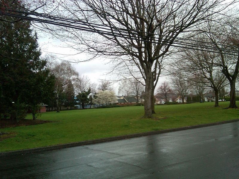
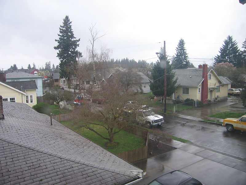
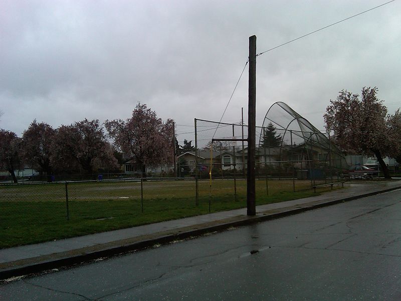
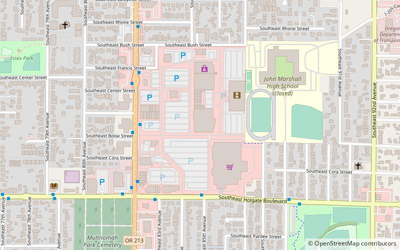
Foster-Powell is a neighborhood in the Southeast section of Portland, Oregon. The triangular neighborhood is bounded by three major transit arteries: Powell Boulevard to the north, Foster Road to the south, and 82nd Avenue to the east. ()
Coordinates: 45°29'36"N, 122°35'20"W
Day trips
Foster-Powell – popular in the area (distance from the attraction)
Nearby attractions include: Fubonn Shopping Center, Mt. Scott Park, Eastport Plaza, Kern Park.
Frequently Asked Questions (FAQ)
Which popular attractions are close to Foster-Powell?
Nearby attractions include Kern Park, Portland (8 min walk), Holgate Library, Portland (10 min walk), Performance Works NorthWest || Linda Austin Dance, Portland (11 min walk), Palestine Lodge, Portland (11 min walk).
How to get to Foster-Powell by public transport?
The nearest stations to Foster-Powell:
Bus
Light rail
Bus
- Southeast Holgate & 72nd • Lines: 17 (6 min walk)
Light rail
- Southeast Holgate Boulevard • Lines: Green (29 min walk)
- Lents Town Center/Southeast Foster Road • Lines: Green (36 min walk)


