Mt. Scott Park, Portland
Map
Map

Facts and practical information
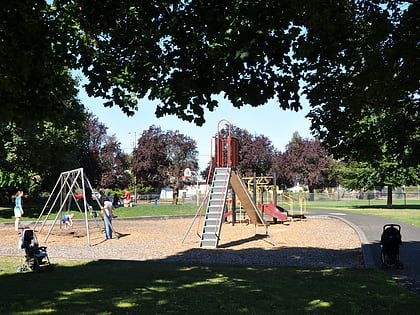
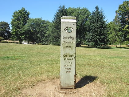
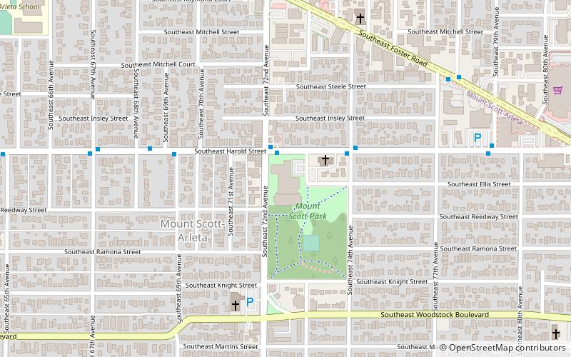
Mt. Scott Park is an 11.22-acre public park in Portland, Oregon's Mt. Scott-Arleta neighborhood, in the United States. Named after Harvey W. Scott, the park was acquired in 1922 and houses the Mt. Scott Community Center. ()
Elevation: 233 ft a.s.l.Coordinates: 45°28'57"N, 122°35'19"W
Address
5530 Southeast 72nd AvenueSoutheast Uplift (Mt. Scott-Arleta)Portland
Contact
+1 503-823-3183
Social media
Add
Day trips
Mt. Scott Park – popular in the area (distance from the attraction)
Nearby attractions include: Eastport Plaza, Hazeltine Park, Kern Park, Woodstock Park.
Frequently Asked Questions (FAQ)
Which popular attractions are close to Mt. Scott Park?
Nearby attractions include Mt. Scott-Arleta, Portland (4 min walk), Performance Works NorthWest || Linda Austin Dance, Portland (15 min walk), Multnomah Park Cemetery, Portland (17 min walk), Holgate Library, Portland (17 min walk).
How to get to Mt. Scott Park by public transport?
The nearest stations to Mt. Scott Park:
Bus
Light rail
Bus
- Southeast Harold & 72nd • Lines: 10 (2 min walk)
- Southeast Foster & 77th • Lines: 14 (8 min walk)
Light rail
- Lents Town Center/Southeast Foster Road • Lines: Green (28 min walk)
- Southeast Flavel Street • Lines: Green (38 min walk)

