Cicero Peak, Black Hills National Forest
Map
Facts and practical information
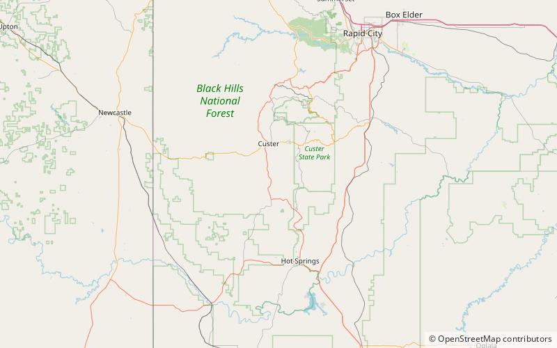
Cicero Peak is a 6,168-foot mountain in the Black Hills of Custer County, South Dakota. The mountain is 6 miles south-southeast of the city of Custer, southwest of Custer State Park, and northwest of Wind Cave National Park. The closest community is Sanator, which is about 2 miles northwest of Cicero Peak. ()
Elevation: 6168 ftCoordinates: 43°40'46"N, 103°33'40"W
Address
Black Hills National Forest
ContactAdd
Social media
Add