Hugh R. Thomas Bridge, Tuscaloosa
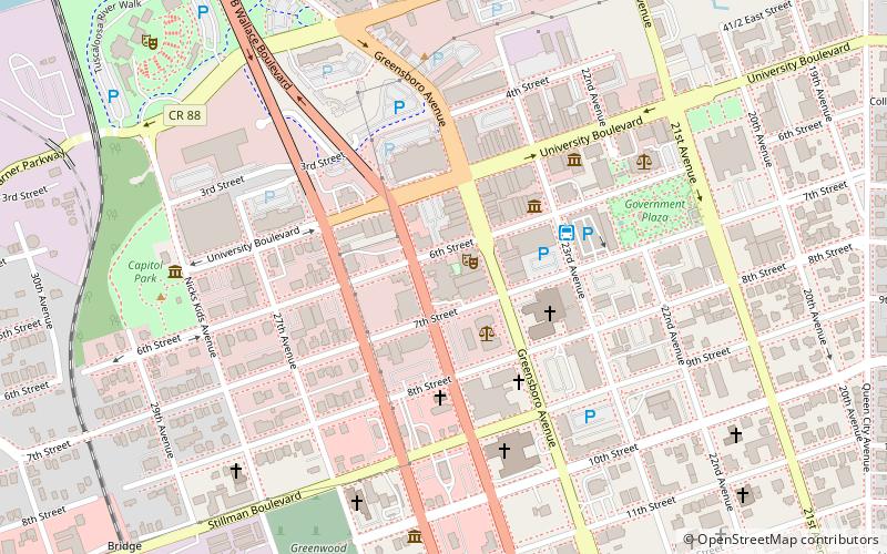
Map
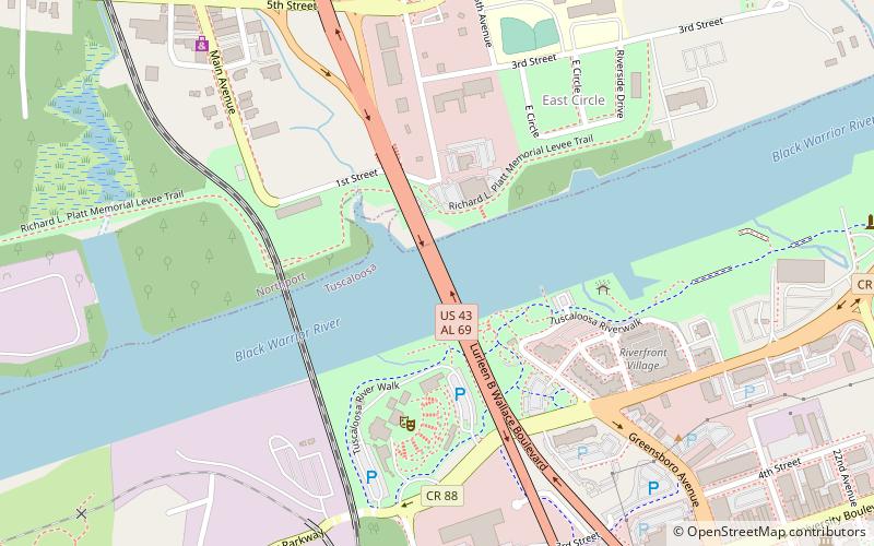
Map

Facts and practical information
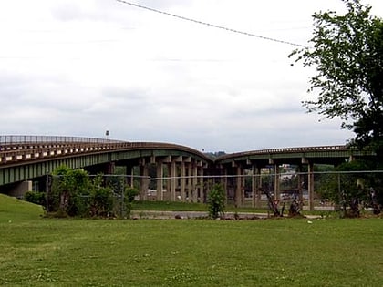
The Hugh Rowe Thomas Bridge is a six-lane, girder bridge spanning the Black Warrior River along U.S. Route 43 and Alabama State Route 69, connecting downtown Tuscaloosa and Northport in Tuscaloosa County, Alabama, that opened in 1974. The bridge is split in Tuscaloosa to accommodate two major, one-way thoroughfares, before joining together heading towards Northport. It replaced a lift bridge that was built in 1922 and demolished in 1973. ()
Opened: 1974 (52 years ago)Coordinates: 33°12'52"N, 87°34'26"W
Address
Wallace BlvdTuscaloosa 35401
ContactAdd
Social media
Add
Day trips
Hugh R. Thomas Bridge – popular in the area (distance from the attraction)
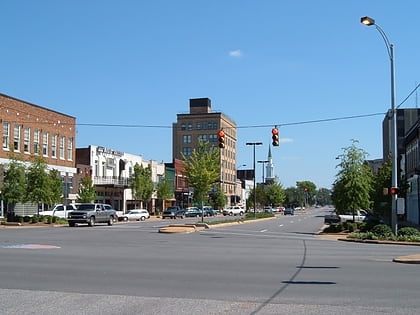
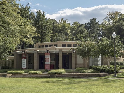
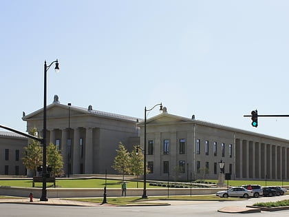
Nearby attractions include: Downtown Tuscaloosa Historic District, Bama Theatre, Battle–Friedman House, Tuscaloosa Amphitheater.
Frequently Asked Questions (FAQ)
Which popular attractions are close to Hugh R. Thomas Bridge?
Nearby attractions include Tuscaloosa Amphitheater, Tuscaloosa (5 min walk), Kentuck Art Center, Northport (10 min walk), Northport Historic District, Northport (11 min walk), Tavern Place, Tuscaloosa (11 min walk).
How to get to Hugh R. Thomas Bridge by public transport?
The nearest stations to Hugh R. Thomas Bridge:
Bus
Bus
- Tuscaloosa Trolley (15 min walk)
