University of California, Riverside
Map

Gallery
Facts and practical information
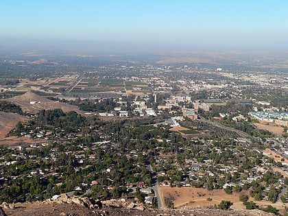
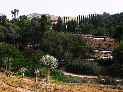
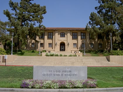
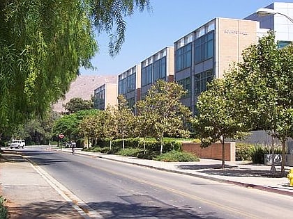
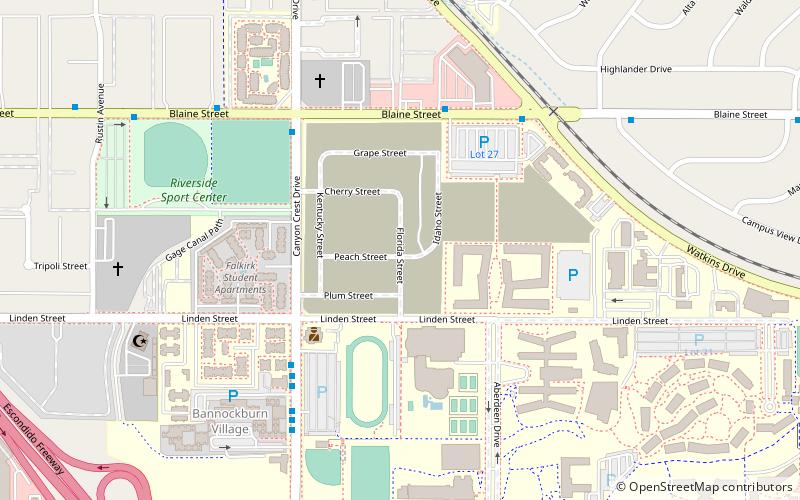
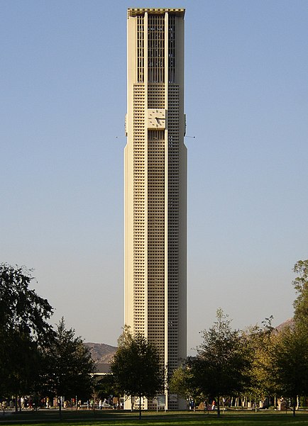
The main campus of the University of California, Riverside is located within the city of Riverside in western Riverside County, three miles east of downtown, and comprises 1,112 acres bisected by the State Route 60 freeway. Nearly half of the total area is devoted to agricultural teaching and research fields, most of which are located west of the freeway. ()
Coordinates: 33°58'23"N, 117°19'41"W
Day trips
University of California – popular in the area (distance from the attraction)
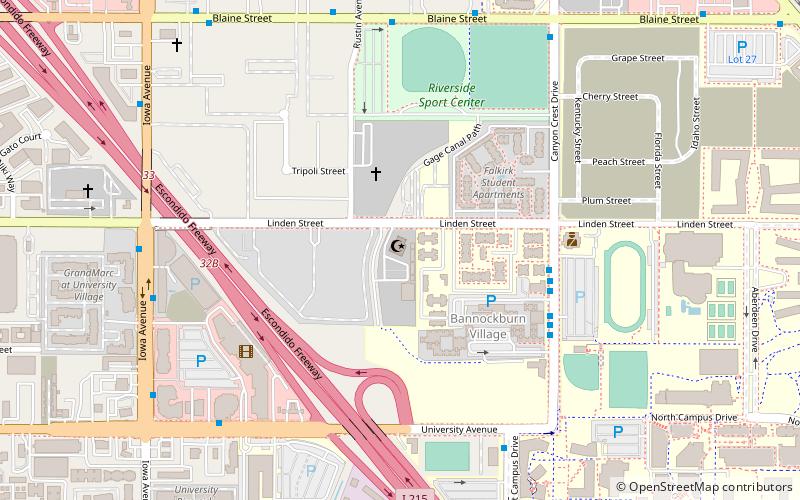
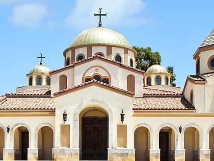
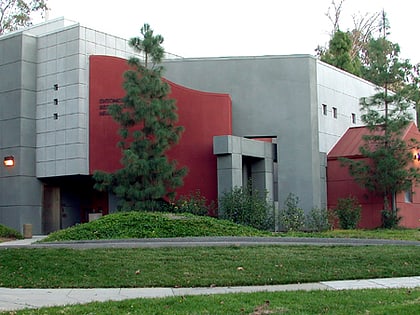
Nearby attractions include: Islamic Center of Riverside, Saint Andrew Orthodox Christian Church, Entomology Research Museum, University of California.
Frequently Asked Questions (FAQ)
Which popular attractions are close to University of California?
Nearby attractions include Ucr Barn, Riverside (3 min walk), Bourns College of Engineering, Riverside (5 min walk), Entomology Research Museum, Riverside (7 min walk), University of California, Riverside (12 min walk).
How to get to University of California by public transport?
The nearest stations to University of California:
Bus
Bus
- Riverside • Lines: N2002 (8 min walk)
- Canyon Crest Dr and UCR • Lines: 51, 52, Gold (11 min walk)
