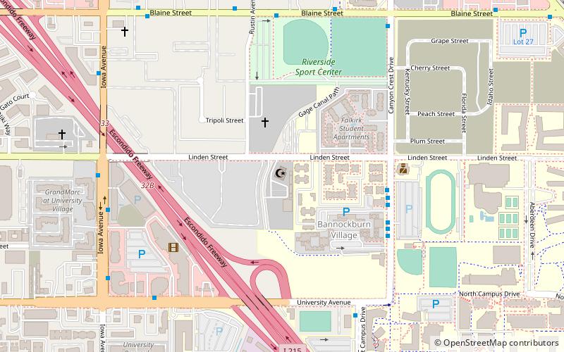
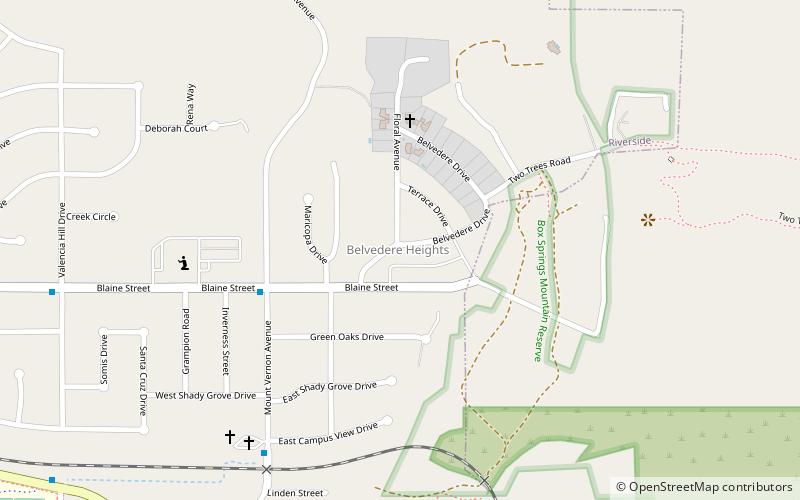
Canyon Crest Heights, Riverside
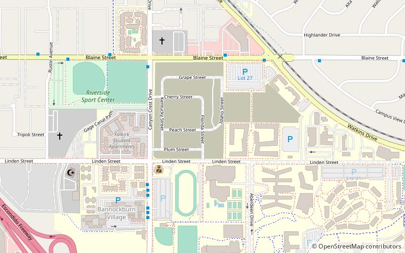
Map
Facts and practical information
Canyon Crest is one of the largest and most diverse neighborhoods of Riverside. ()
Coordinates: 33°58'50"N, 117°19'44"W
Address
East Riverside (University of Riverside)Riverside
ContactAdd
Social media
Add
Getting there by public transportation
Public transportation stops near this location
- Bus
 Bus
Bus
- Calculate routeCanyon Crest Dr and UCR 6 min walk
- Calculate routeIowa at University 17 min walk
- Calculate routeUniversity Ave and Iowa Ave 18 min walk
- Calculate routeRiverside 19 min walk
Day trips
Canyon Crest Heights – popular in the area (distance from the attraction)
Nearby attractions include: Islamic Center of Riverside, Saint Andrew Orthodox Christian Church, Riverside International Automotive Museum, Entomology Research Museum.


Frequently Asked Questions (FAQ)
Which popular attractions are close to Canyon Crest Heights?
Nearby attractions include Islamic Center of Riverside, Riverside (9 min walk), Bourns College of Engineering, Riverside (10 min walk), University of California, Riverside (14 min walk), Ucr Barn, Riverside (16 min walk).
How to get to Canyon Crest Heights by public transport?
The nearest stations to Canyon Crest Heights:
Bus
Bus
- Canyon Crest Dr and UCR • Lines: 51, 52, Gold (6 min walk)
- Iowa at University • Lines: 1, 16, 204, 52, Gold (17 min walk)