Salem Methodist Church Complex, Cincinnati
Map

Map

Facts and practical information
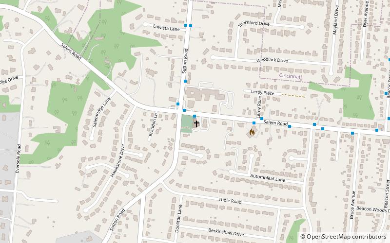
Salem Methodist Church Complex is a registered historic building near Cincinnati, Ohio, listed in the National Register on April 29, 1982. ()
Coordinates: 39°4'30"N, 84°23'29"W
Day trips
Salem Methodist Church Complex – popular in the area (distance from the attraction)
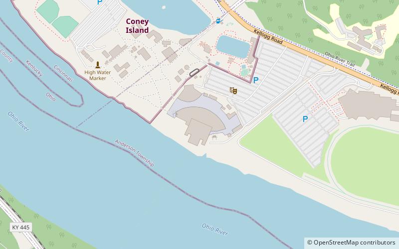
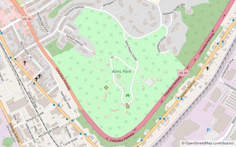
Nearby attractions include: Coney Island, Belterra Park Gaming & Entertainment Center, California Woods Nature Preserve, Riverbend Music Center.
Frequently Asked Questions (FAQ)
How to get to Salem Methodist Church Complex by public transport?
The nearest stations to Salem Methodist Church Complex:
Bus
Bus
- Salem Rd & Sutton Ave • Lines: 24 (1 min walk)
- Sutton Ave & Le Roy Pl • Lines: 24 (3 min walk)


