Katama Farm, Edgartown

Map
Facts and practical information
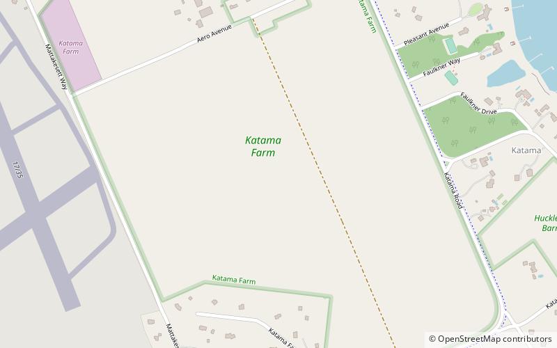
Katama is a residential area in the town of Edgartown, Massachusetts, on the south shore of the island of Martha's Vineyard. It is bordered on the west by Edgartown Great Pond, on the east by Katama Bay and on the south by the Atlantic Ocean. It starts at a fork in the road when you head south on Katama Road out of central Edgartown; Katama Road leads to the left and Herring Creek Road leads to the right. ()
Elevation: 13 ft a.s.l.Coordinates: 41°21'28"N, 70°30'53"W
Address
EdgartownEdgartown
ContactAdd
Social media
Add
Day trips
Katama Farm – popular in the area (distance from the attraction)
Nearby attractions include: Edgartown Harbor Light, Farm Neck Golf Club, Cape Poge Light, Vineyard Golf Club.


