Katama Airpark, Edgartown
Map
Facts and practical information
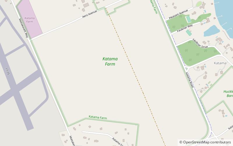
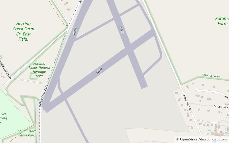
Katama Airpark is a public airport in the Katama section of Edgartown, Massachusetts, in Dukes County on the island of Martha's Vineyard. The airport, owned by the Town of Edgartown, has three runways, averages 22 takeoffs and landings per day, and has approximately four aircraft based on its field. ()
Elevation: 10 ft a.s.l.Coordinates: 41°21'21"N, 70°31'24"W
Day trips
Katama Airpark – popular in the area (distance from the attraction)
Nearby attractions include: Edgartown Harbor Light, Cape Poge Light, Vineyard Golf Club, Mad Max Sailing Adventures.


