Jones Point, Alexandria
Map
Gallery
Facts and practical information
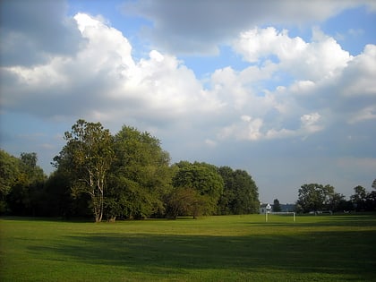
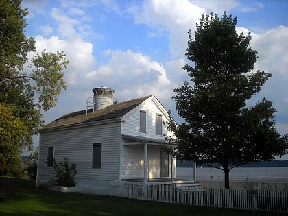
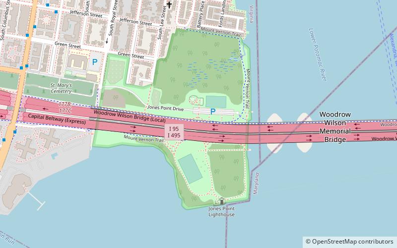
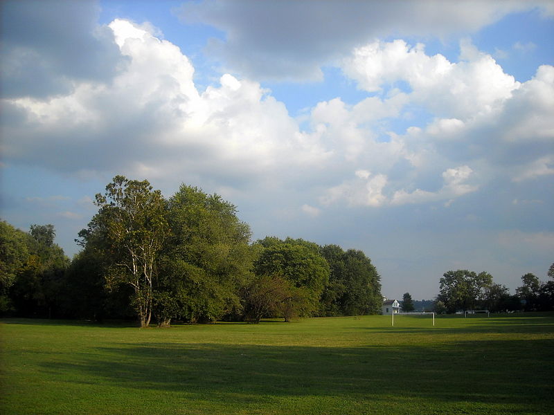
Jones Point is a geographic point on the Potomac River within the city of Alexandria, Virginia, United States. The Jones Point Light and Jones Point Park are located at the point, which is immediately North of the confluence of Hunting Creek and the Potomac River. The 1791-1792 survey of the original boundaries of the District of Columbia began at a spot that was then at the tip of a cape at the Point. The south cornerstone from the boundary survey remains in a seawall several yards south of the lighthouse. ()
Elevation: 3 ft a.s.l.Coordinates: 38°47'35"N, 77°2'30"W
Day trips
Jones Point – popular in the area (distance from the attraction)
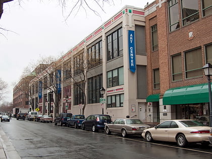
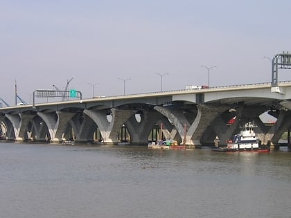
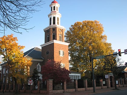
Nearby attractions include: The Capital Wheel, Torpedo Factory Art Center, Woodrow Wilson Bridge, Christ Church.
Frequently Asked Questions (FAQ)
Which popular attractions are close to Jones Point?
Nearby attractions include Jones Point Light, Alexandria (5 min walk), Woodrow Wilson Bridge, Alexandria (9 min walk), Contrabands and Freedmen Cemetery, Alexandria (12 min walk), Old Presbyterian Meeting House, Alexandria (16 min walk).
How to get to Jones Point by public transport?
The nearest stations to Jones Point:
Bus
Metro
Train
Bus
- Franklin St + S Royal St • Lines: At3 (10 min walk)
- S Washington St & Hunting Point • Lines: At3 (11 min walk)
Metro
- King Street–Old Town • Lines: Bl, Yl (36 min walk)
Train
- Alexandria Union Station (37 min walk)
- Alexandria (37 min walk)
