Kent Trails, Wyoming
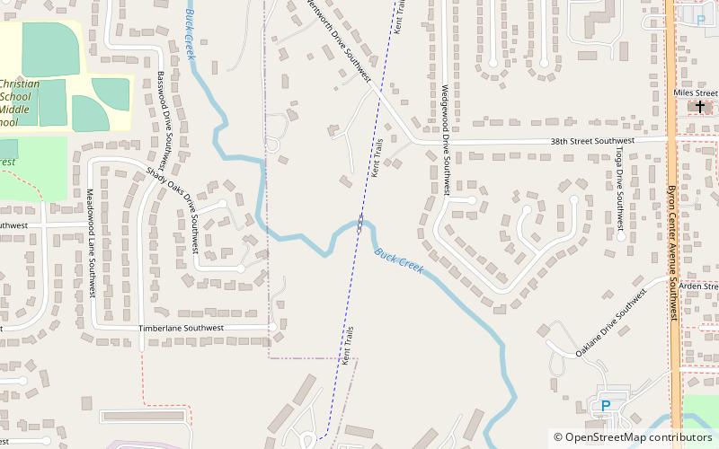
Map
Facts and practical information
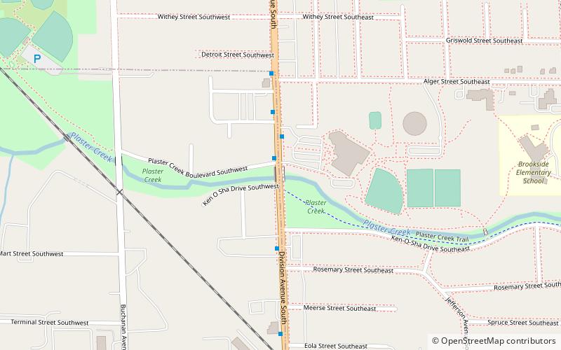
Kent Trails is a fifteen-mile rail trail in Kent County, Michigan that runs through the cities of Grand Rapids, Grandville, Walker, Wyoming and Byron Township and is part of a network of trails in and around Grand Rapids. It runs north and south from John Ball Park in Grand Rapids to 84th Street in Byron Township, with an extension that runs east/west along 76th Street and north/south from 76th Street to Douglas Walker Park on 84th Street. ()
Coordinates: 42°53'39"N, 85°43'55"W
Address
WyomingWyoming
ContactAdd
Social media
Add
Day trips
Kent Trails – popular in the area (distance from the attraction)
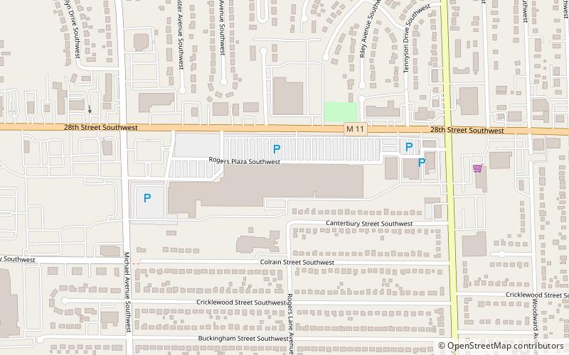
Nearby attractions include: Van Andel Arena, RiverTown Crossings, John Ball Zoo, Rogers Plaza.


