Western Avenue, Bethesda
Map
Map

Facts and practical information
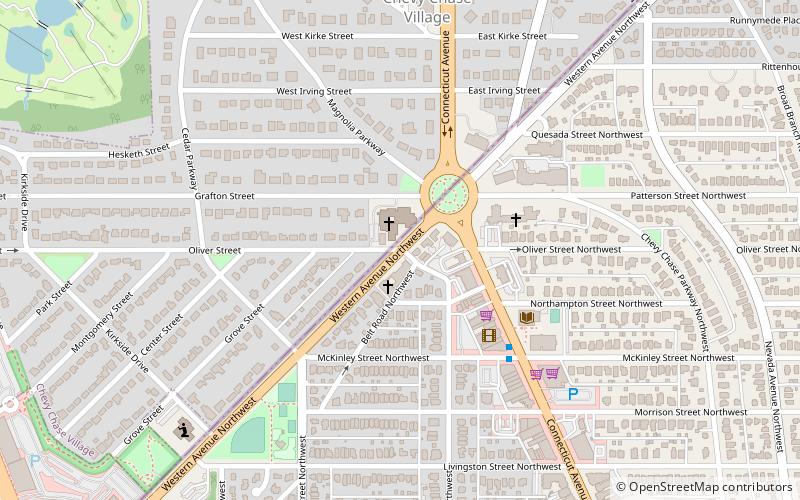
Western Avenue is one of three boundary streets between Washington, D.C., and the state of Maryland. It follows a southwest-to-northeast line, beginning at Westmoreland Circle in the south and ending at Oregon Avenue NW in the north. It is roughly 3.5 miles in length. First proposed in 1893, it was constructed somewhat fitfully from about 1900 to 1931. ()
Length: 3.5 miCoordinates: 38°58'0"N, 77°4'42"W
Address
Chevy Chase (Chevy Chase Village)Bethesda
ContactAdd
Social media
Add
Day trips
Western Avenue – popular in the area (distance from the attraction)
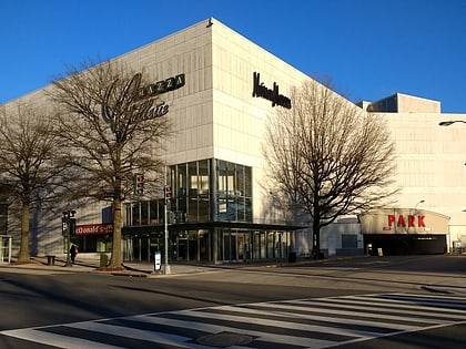
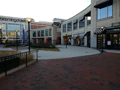
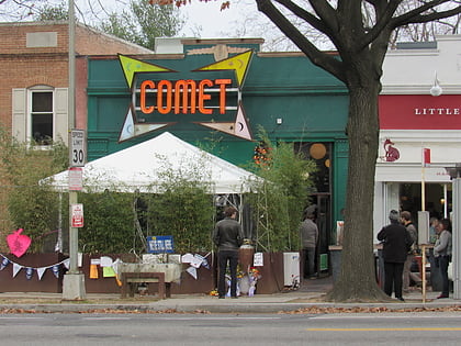
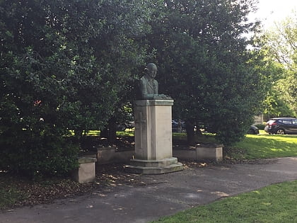
Nearby attractions include: Mazza Gallerie, The Shops at Wisconsin Place, Comet Ping Pong, Peter Muhlenberg Memorial.
Frequently Asked Questions (FAQ)
Which popular attractions are close to Western Avenue?
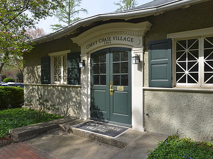
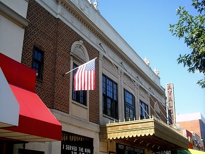
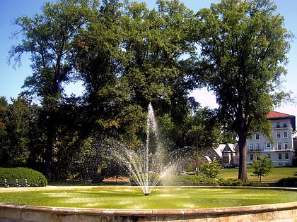
Nearby attractions include Avalon Theatre, Washington D.C. (4 min walk), Chevy Chase Neighborhood Library, Washington D.C. (5 min walk), Chevy Chase Village, Bethesda (5 min walk), Francis Griffith Newlands Memorial Fountain, Bethesda (5 min walk).
How to get to Western Avenue by public transport?
The nearest stations to Western Avenue:
Bus
Metro
Bus
- Friendship Heights Metro • Lines: 1, 11, 23, 29, 30N, 30S, 31, 33, 34, 37, E4, E6, L2, L8, N2, N4, N6, T2 (17 min walk)
Metro
- Friendship Heights • Lines: Rd (16 min walk)

