St. Paul's Lutheran Church, Washington D.C.
Map
Map

Facts and practical information
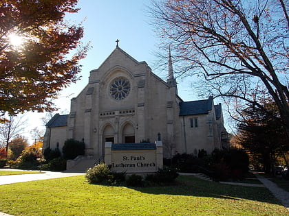
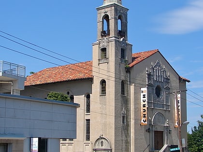
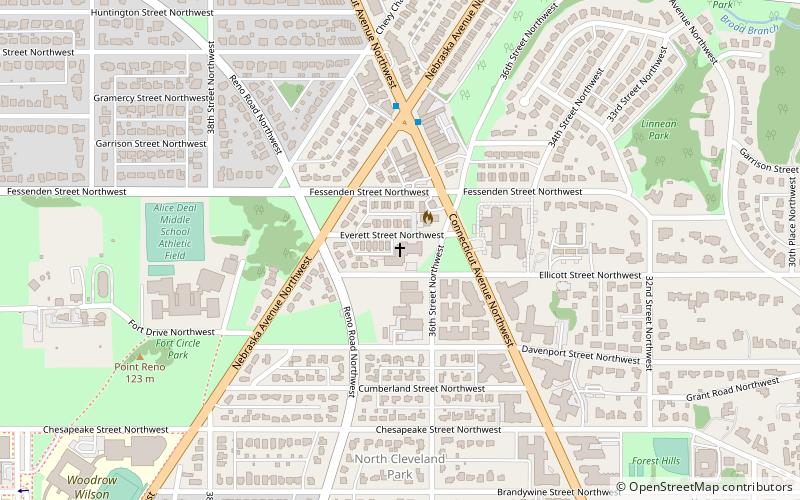
St. Paul's Lutheran Church is a decorated Gothic Revival-style Lutheran church in northwest Washington, D.C. Currently located off of Connecticut Avenue NW, between Ellicott and Everett Streets, it was originally founded in 1843 as the first English-speaking Lutheran church in the District. St. Paul's is affiliated with the Evangelical Lutheran Church in America. ()
Architectural style: Gothic revivalCoordinates: 38°57'13"N, 77°4'14"W
Address
Northwest Washington (Van Ness - Forest Hills)Washington D.C.
ContactAdd
Social media
Add
Day trips
St. Paul's Lutheran Church – popular in the area (distance from the attraction)
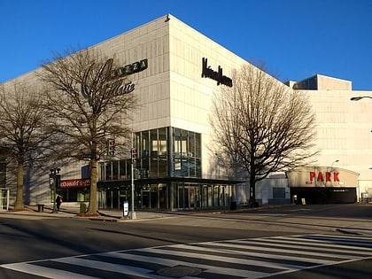
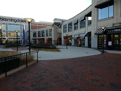
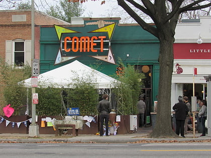
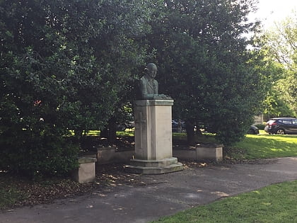
Nearby attractions include: Mazza Gallerie, The Shops at Wisconsin Place, Comet Ping Pong, Peter Muhlenberg Memorial.
Frequently Asked Questions (FAQ)
Which popular attractions are close to St. Paul's Lutheran Church?
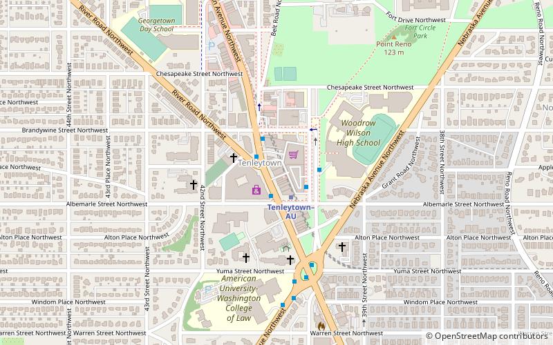
Nearby attractions include Peter Muhlenberg Memorial, Washington D.C. (2 min walk), Point Reno, Washington D.C. (9 min walk), Reno School, Washington D.C. (10 min walk), Grant Road Historic District, Washington D.C. (12 min walk).
How to get to St. Paul's Lutheran Church by public transport?
The nearest stations to St. Paul's Lutheran Church:
Metro
Bus
Metro
- Tenleytown–AU • Lines: Rd (16 min walk)
- Van Ness–UDC • Lines: Rd (20 min walk)
Bus
- Friendship Heights Metro • Lines: 1, 11, 23, 29, 30N, 30S, 31, 33, 34, 37, E4, E6, L2, L8, N2, N4, N6, T2 (25 min walk)
