Foxhall, Washington D.C.
Map

Gallery

Facts and practical information
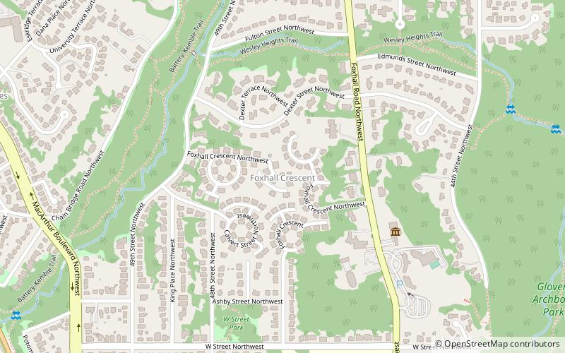
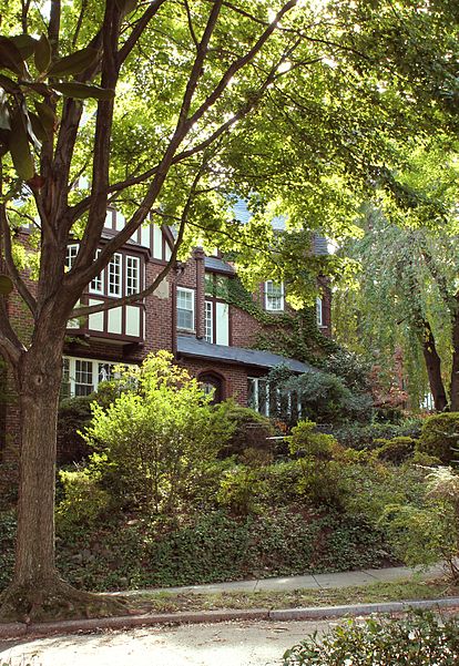
Foxhall, also known as Foxhall Village, is a neighborhood in northwestern Washington, D.C., bordered by Reservoir Road on the north side, Foxhall Road on the west, Glover-Archbold Park on the east, and P Street NW on the south. The first homes were constructed along Reservoir Road and Greenwich Park Way in the mid-1920s. By the end of December, 1927, some 150 homes had been erected, and the community given the name of Foxhall Village. ()
Coordinates: 38°55'24"N, 77°5'32"W
Address
Northwest Washington (Foxhall-Palisades)Washington D.C.
ContactAdd
Social media
Add
Day trips
Foxhall – popular in the area (distance from the attraction)
Nearby attractions include: All Hallows Guild Carousel, Bender Arena, Kreeger Museum, Fletcher's Cove.
Frequently Asked Questions (FAQ)
Which popular attractions are close to Foxhall?
Nearby attractions include Kreeger Museum, Washington D.C. (6 min walk), Palisades Library, Washington D.C. (11 min walk), St. Patrick's Episcopal Church, Washington D.C. (13 min walk), Battery Kemble Park, Washington D.C. (14 min walk).
How to get to Foxhall by public transport?
The nearest stations to Foxhall:
Bus
Bus
- South Campus • Lines: White Route (22 min walk)
- Military Road at Beechwood Cir • Lines: 53A, 53B (36 min walk)


