Georgetown Reservoir, Washington D.C.
Map

Gallery

Facts and practical information
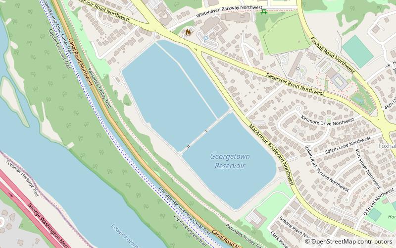
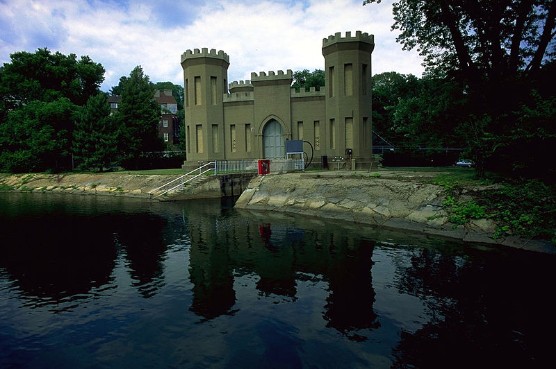
The Georgetown Reservoir is a reservoir that provides water to the District of Columbia. Part of the city’s water supply and treatment infrastructure, it is located in the Palisades neighborhood, approximately two miles downstream from the Maryland–D.C. boundary. ()
Elevation: 138 ft a.s.l.Coordinates: 38°54'45"N, 77°5'35"W
Address
Northwest Washington (Foxhall-Palisades)Washington D.C.
ContactAdd
Social media
Add
Day trips
Georgetown Reservoir – popular in the area (distance from the attraction)
Nearby attractions include: All Hallows Guild Carousel, Jesuit Community Cemetery, Kreeger Museum, Fletcher's Cove.
Frequently Asked Questions (FAQ)
Which popular attractions are close to Georgetown Reservoir?
Nearby attractions include Castle Gatehouse, Washington D.C. (6 min walk), St. Patrick's Episcopal Church, Washington D.C. (7 min walk), Palisades Library, Washington D.C. (12 min walk), Colony Hill, Washington D.C. (12 min walk).
How to get to Georgetown Reservoir by public transport?
The nearest stations to Georgetown Reservoir:
Bus
Bus
- N Lorcom Ln at N Fillmore St • Lines: 62 (24 min walk)


