Downtown Cohoes Historic District, Cohoes
Map

Gallery

Facts and practical information
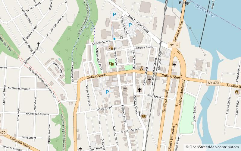
The Downtown Cohoes Historic District takes up 35 acres of the city of Cohoes, New York, United States. Many of the 165 contributing properties date from the 1820-1930 period when the Erie Canal and Harmony Mills were the mainstay of the city's economy. It was recognized as a historic district and added to the National Register of Historic Places in 1984. After years of neglect and decline, it has recently started to see an upswing in business activity due to its historic character and the city's efforts to protect it. ()
Built: 1820 (206 years ago)Coordinates: 42°46'27"N, 73°42'4"W
Address
CohoesCohoes
ContactAdd
Social media
Add
Day trips
Downtown Cohoes Historic District – popular in the area (distance from the attraction)
Nearby attractions include: Cohoes Falls, Peebles Island State Park, Cohoes Music Hall, Cohoes City Hall.
Frequently Asked Questions (FAQ)
Which popular attractions are close to Downtown Cohoes Historic District?
Nearby attractions include Cohoes City Hall, Cohoes (2 min walk), Olmstead Street Historic District, Cohoes (3 min walk), Cohoes Music Hall, Cohoes (3 min walk), Enlarged Erie Canal Historic District, Cohoes (7 min walk).


