Olmstead Street Historic District, Cohoes
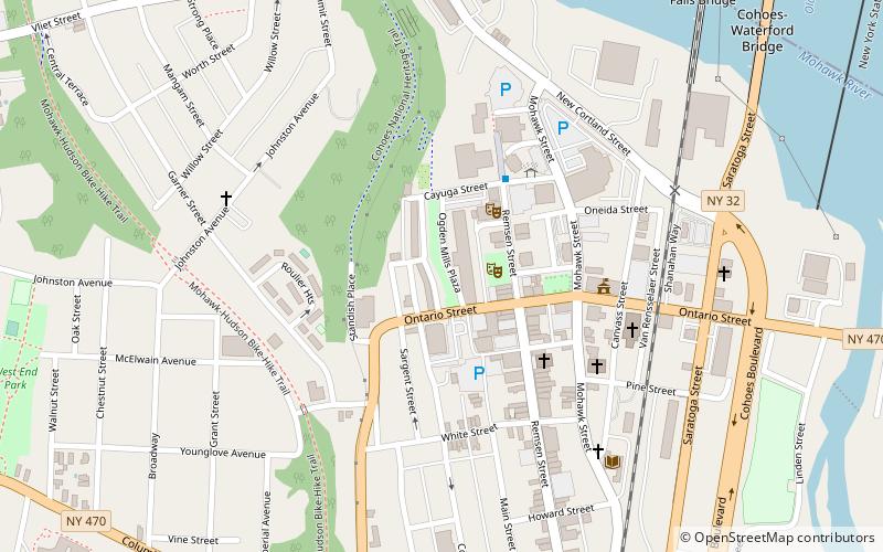
Map

Map

Facts and practical information
The Olmstead Street Historic District is located along two blocks of that street in Cohoes, New York, United States. It is a microcosm of the city's economy at its peak in the mid- to late 19th century, consisting of a former textile mill complex, a filled-in section of the original Erie Canal, and three long blocks of row houses built for the millworkers. ()
Coordinates: 42°46'29"N, 73°42'10"W
Address
CohoesCohoes
ContactAdd
Social media
Add
Day trips
Olmstead Street Historic District – popular in the area (distance from the attraction)
Nearby attractions include: Cohoes Falls, Peebles Island State Park, Cohoes Music Hall, Cohoes City Hall.
Frequently Asked Questions (FAQ)
Which popular attractions are close to Olmstead Street Historic District?
Nearby attractions include Cohoes Music Hall, Cohoes (2 min walk), Downtown Cohoes Historic District, Cohoes (3 min walk), Cohoes City Hall, Cohoes (4 min walk), Enlarged Erie Canal Historic District, Cohoes (5 min walk).


