Cottonwood Spring, Blue Diamond
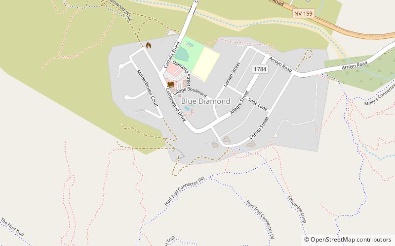
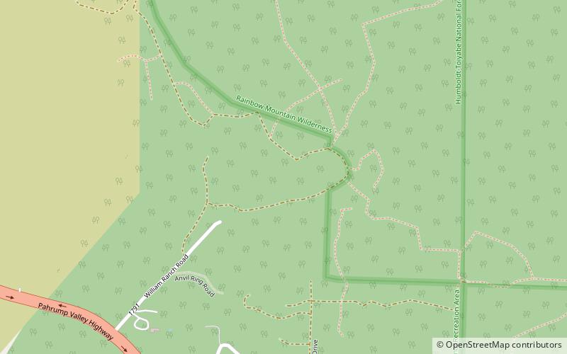
Map
Facts and practical information
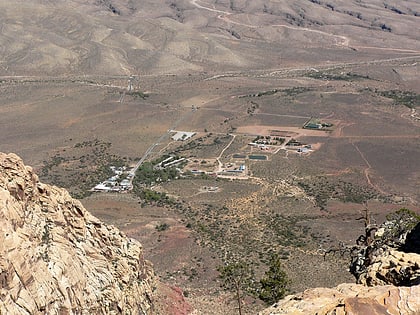
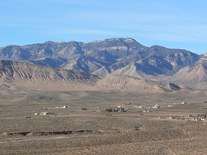
Cottonwood Spring, located at Blue Diamond, Nevada, was a watering place and camp site on the Old Spanish Trail and then later on the Mormon Road between Mountain Springs and Las Vegas Springs. The springs are located on a hillside south of the town at 36°02′44″N 115°24′22″W at an elevation of 3409 feet. ()
Coordinates: 36°2'44"N, 115°24'22"W
Address
Blue DiamondBlue Diamond
ContactAdd
Social media
Add
Day trips
Cottonwood Spring – popular in the area (distance from the attraction)
Nearby attractions include: Bonnie Springs Ranch, Potosi Mountain, Spring Mountain Ranch State Park, Mountain Springs.
