Lake Washington Ship Canal, Seattle
Map
Map

Facts and practical information
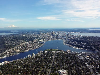
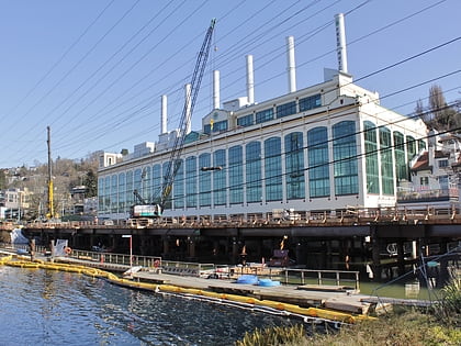
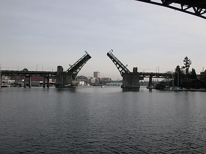
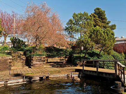
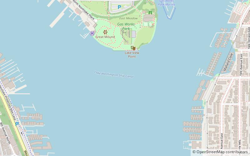
The Lake Washington Ship Canal, which runs through the city of Seattle, connects the fresh water body of Lake Washington with the salt water inland sea of Puget Sound. The Hiram M. Chittenden Locks accommodate the approximately 20-foot difference in water level between Lake Washington and the sound. The canal runs east–west and connects Union Bay, the Montlake Cut, Portage Bay, Lake Union, the Fremont Cut, Salmon Bay, and Shilshole Bay, which is part of the sound. ()
Address
Seattle
ContactAdd
Social media
Add
Day trips
Lake Washington Ship Canal – popular in the area (distance from the attraction)
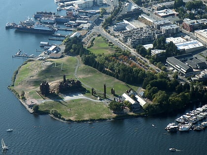
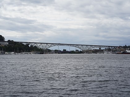
Nearby attractions include: Gas Works Park, Lake Union, Seattle Asian Art Museum, Aurora Bridge.
Frequently Asked Questions (FAQ)
Which popular attractions are close to Lake Washington Ship Canal?
Nearby attractions include Gas Works Park, Seattle (5 min walk), Lake Union, Seattle (6 min walk), Eastlake, Seattle (12 min walk), The Seattle Marina, Seattle (14 min walk).
How to get to Lake Washington Ship Canal by public transport?
The nearest stations to Lake Washington Ship Canal:
Bus
Tram
Trolleybus
Bus
- N 35th St & Wallingford Ave N • Lines: 31, 32 (11 min walk)
- Wallingford Ave N & N 35th St • Lines: 31, 32 (12 min walk)
Tram
- Fairview & Campus Drive • Lines: South Lake Union Streetcar (28 min walk)
Trolleybus
- 15th Ave NE & NE 42nd St • Lines: 43, 44, 49, 70 (39 min walk)

