Fairview Avenue North Bridge, Seattle
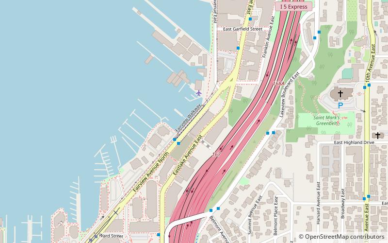
Map
Map

Facts and practical information
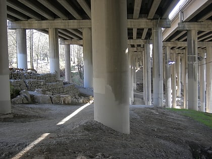
The Fairview Avenue North Bridge is a road bridge in the Eastlake neighborhood of Seattle, Washington, United States, crossing a shallow arm of Lake Union. The original timber-pile bridge was built in 1948 and expanded with a concrete span in 1963. Both bridges were replaced by a new span that opened in 2021. ()
Coordinates: 47°37'52"N, 122°19'40"W
Address
Cascade (South Lake Union)Seattle
ContactAdd
Social media
Add
Day trips
Fairview Avenue North Bridge – popular in the area (distance from the attraction)
Nearby attractions include: R Place, Lake Union Park, Seattle Asian Art Museum, Volunteer Park.
Frequently Asked Questions (FAQ)
Which popular attractions are close to Fairview Avenue North Bridge?
Nearby attractions include Zodiac, Seattle (3 min walk), Lakeview Place, Seattle (4 min walk), Adventuress, Seattle (7 min walk), St. Mark's Greenbelt, Seattle (7 min walk).
How to get to Fairview Avenue North Bridge by public transport?
The nearest stations to Fairview Avenue North Bridge:
Tram
Bus
Light rail
Train
Tram
- Fairview & Campus Drive • Lines: South Lake Union Streetcar (9 min walk)
- Lake Union Park • Lines: South Lake Union Streetcar (14 min walk)
Bus
- Fairview Ave N & Valley St • Lines: C (11 min walk)
- E Aloha St & Broadway E • Lines: 9 (12 min walk)
Light rail
- Capitol Hill • Lines: 1 (23 min walk)
Train
- Seattle Center (32 min walk)
