Silver Hill, Albuquerque
Map

Map

Facts and practical information
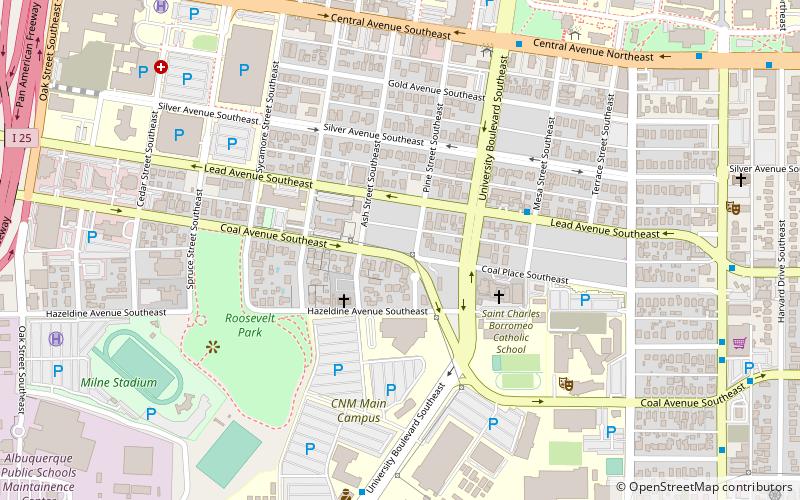
Silver Hill is a neighborhood in southeast Albuquerque, New Mexico, which is significant as one of the oldest developments on the city's East Mesa. Much of the neighborhood is included in the Silver Hill Historic District, which was listed on the National Register of Historic Places in 1986. The neighborhood is roughly bounded by Central Avenue, Yale Boulevard, Central New Mexico Community College, and Presbyterian Hospital. The northeast corner of the neighborhood borders the University of New Mexico campus. ()
Coordinates: 35°4'40"N, 106°37'44"W
Day trips
Silver Hill – popular in the area (distance from the attraction)
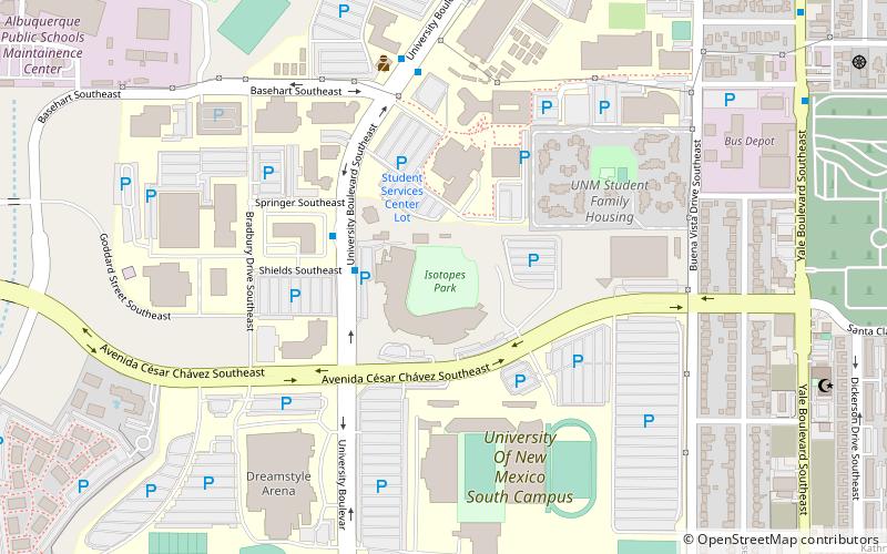
Nearby attractions include: Isotopes Park, Albuquerque Convention Center, University of New Mexico Arboretum, Popejoy Hall.
Frequently Asked Questions (FAQ)
Which popular attractions are close to Silver Hill?
Nearby attractions include Roosevelt Park, Albuquerque (3 min walk), Museum of Southwestern Biology, Albuquerque (14 min walk), Maxwell Museum of Anthropology, Albuquerque (15 min walk), University Art Museum, Albuquerque (16 min walk).
How to get to Silver Hill by public transport?
The nearest stations to Silver Hill:
Bus
Train
Bus
- Unm/Cnm • Lines: 766, 777 (8 min walk)
- Presbyterian • Lines: 766, 777 (10 min walk)
Train
- Albuquerque (29 min walk)


