Lexington Bridge, Saint Paul
Map

Map

Facts and practical information
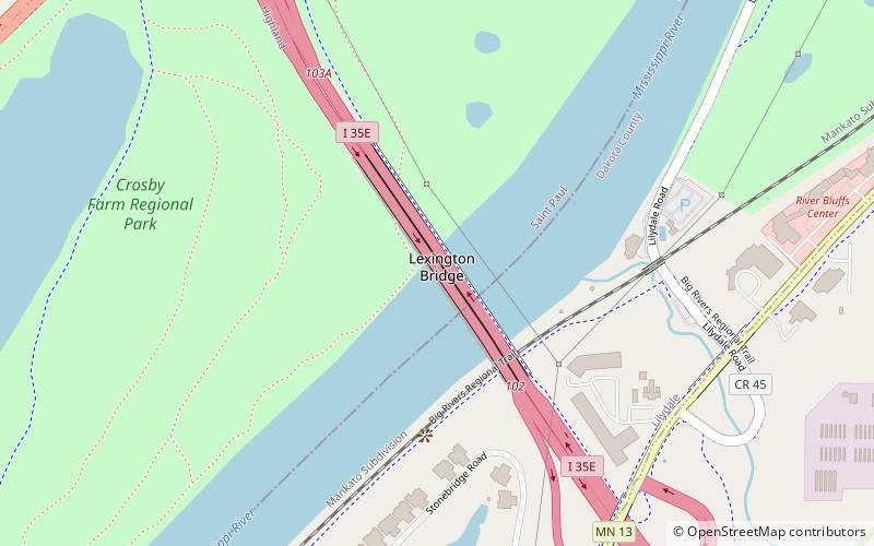
Lexington Bridge is a plate girder bridge that spans the Mississippi River between Saint Paul and Lilydale, Minnesota, United States. It was built in 2004 by the Minnesota Department of Transportation. ()
Opened: 2004 (22 years ago)Coordinates: 44°54'17"N, 93°8'23"W
Day trips
Lexington Bridge – popular in the area (distance from the attraction)
Nearby attractions include: Highland Park Aquatic Center, Crosby Farm, Pickerel Lake, Highland 9 Hole Golf Course.
Frequently Asked Questions (FAQ)
How to get to Lexington Bridge by public transport?
The nearest stations to Lexington Bridge:
Bus
Bus
- Montreal Avenue & Elway Street • Lines: 83 (16 min walk)
- 7th Street & Lexington Parkway • Lines: 83 (19 min walk)


