Crosby Farm, Saint Paul
Map

Map

Facts and practical information
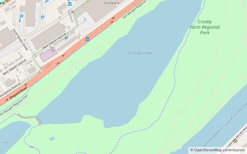
Crosby Farm is a regional park in Saint Paul, Minnesota, United States, that is located in the floodplain forests along the Mississippi River. It is named after a historic farmstead owned by Thomas Crosby from 1858 to 1886. Crosby Farm Regional Park is maintained by the City of Saint Paul and is within the Mississippi National River and Recreation Area. ()
Elevation: 696 ft a.s.l.Coordinates: 44°54'12"N, 93°9'4"W
Day trips
Crosby Farm – popular in the area (distance from the attraction)
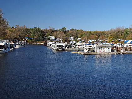
Nearby attractions include: Highland Park Aquatic Center, Watergate Marina, Lexington Bridge, Highland Park Tower.
Frequently Asked Questions (FAQ)
How to get to Crosby Farm by public transport?
The nearest stations to Crosby Farm:
Bus
Bus
- Montreal Avenue & Elway Street • Lines: 83 (18 min walk)
- Saint Paul Avenue & 7th Street • Lines: 84 (19 min walk)


