Thunder Mountain, Sawtooth National Forest

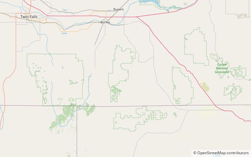
Map
Facts and practical information
Thunder Mountain, at 7,455 feet above sea level is a peak in the Albion Mountains of Idaho. The peak is located in Sawtooth National Forest and Cassia County. It is located about 2.7 mi southeast of Cache Peak. ()
Elevation: 7455 ftProminence: 675 ftCoordinates: 42°10'18"N, 113°36'50"W
Address
Sawtooth National Forest
ContactAdd
Social media
Add
Day trips
Thunder Mountain – popular in the area (distance from the attraction)
Nearby attractions include: Cache Peak, Albion Mountains, Mount Independence, Independence Lakes.


