Cache Peak, Sawtooth National Forest
Map
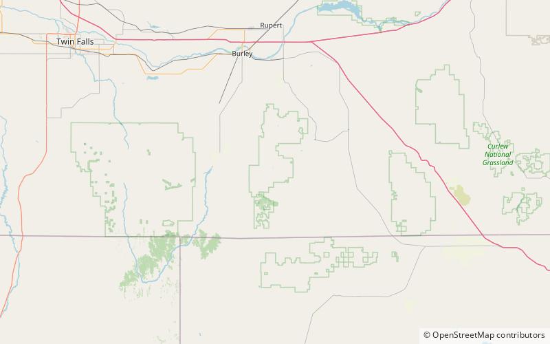
Map

Facts and practical information
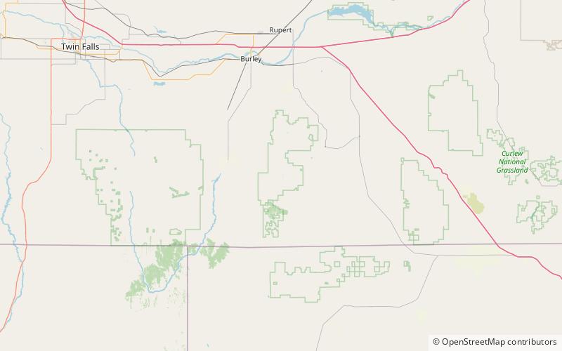
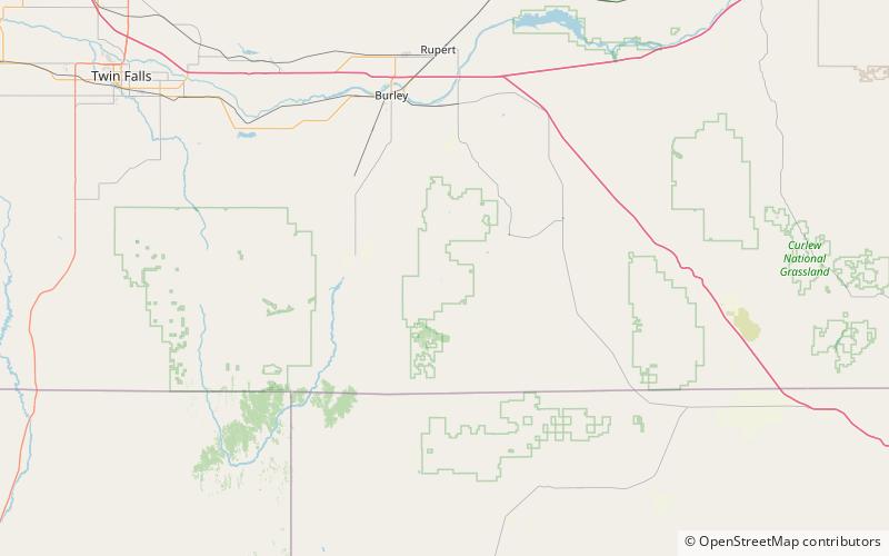
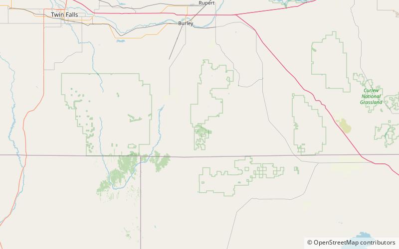
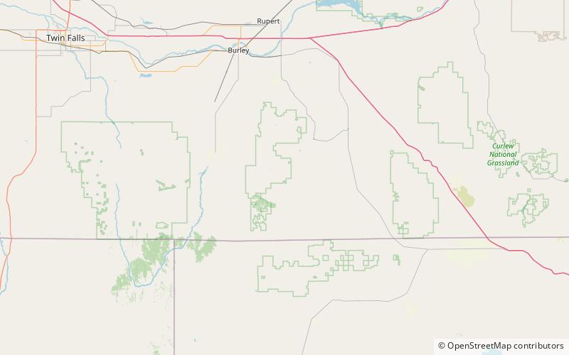
Cache Peak, at 10,339 feet above sea level, is the highest peak in the Albion Mountains of Cassia County in Southern Idaho. Cache Peak is located in the central part of the range southeast of Oakley and north of Almo in the Albion Division of the Minidoka Ranger District of Sawtooth National Forest. ()
Elevation: 10339 ftProminence: 4459 ftCoordinates: 42°11'8"N, 113°39'40"W
Address
Sawtooth National Forest
ContactAdd
Social media
Add
Day trips
Cache Peak – popular in the area (distance from the attraction)
Nearby attractions include: Albion Mountains, Mount Independence, Independence Lakes, Graham Peak.


