Lilly Arbor Project, Indianapolis

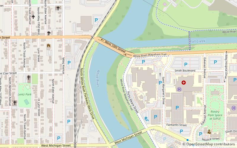
Map
Facts and practical information
The Lilly Arbor Project is a part of an experimental riparian floodplain reforestation and ecological restoration program, located along the White River in Indiana, in the eastern United States. ()
Coordinates: 39°46'43"N, 86°11'21"W
Address
Downtown Indianapolis (Indiana Avenue)Indianapolis
ContactAdd
Social media
Add
Day trips
Lilly Arbor Project – popular in the area (distance from the attraction)
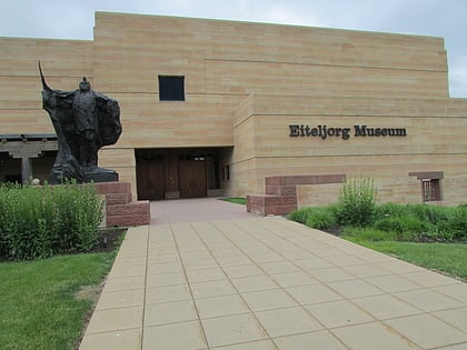
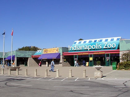
Nearby attractions include: Eiteljorg Museum of American Indians and Western Art, Indianapolis Zoo, Indiana University Natatorium, Indiana State Museum.
Frequently Asked Questions (FAQ)
Which popular attractions are close to Lilly Arbor Project?
Nearby attractions include Lentz Park, Indianapolis (10 min walk), Nurses' Sunken Garden and Convalescent Park, Indianapolis (11 min walk), Christamore House, Indianapolis (18 min walk), Indiana University–Purdue University Indianapolis, Indianapolis (20 min walk).
How to get to Lilly Arbor Project by public transport?
The nearest stations to Lilly Arbor Project:
Train
Train
- Indiana University/Riley (17 min walk)


