Wendel D. Ley Track and Holloway Field, Houston
Map
Map

Facts and practical information
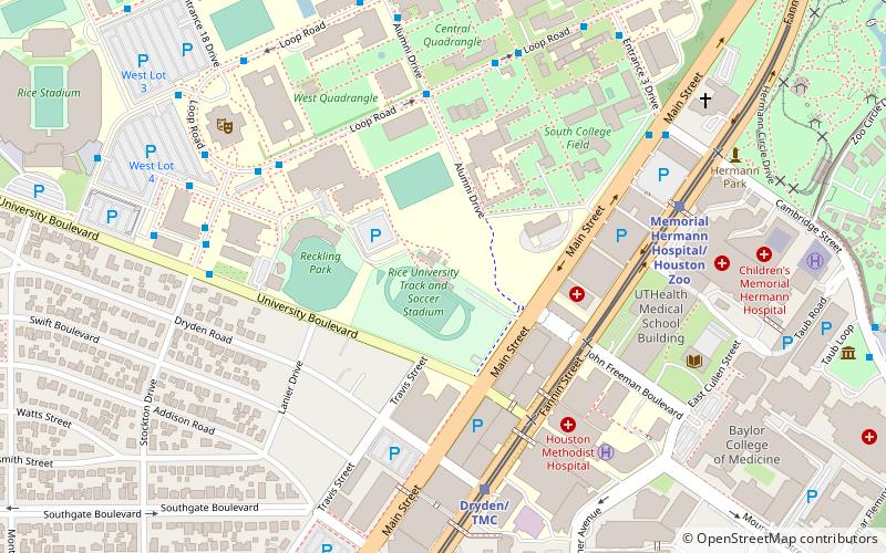
Wendel D. Ley Track and Holloway Field is a stadium in Houston, Texas. It is primarily used for track and field and soccer for the Rice University Owls. It is bounded by Main Street, University Boulevard, Reckling Park baseball field and open athletic fields. ()
Coordinates: 29°42'48"N, 95°24'6"W
Day trips
Wendel D. Ley Track and Holloway Field – popular in the area (distance from the attraction)
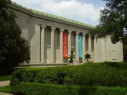
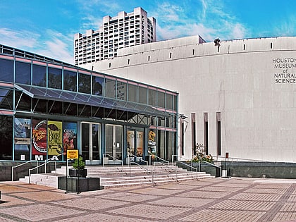
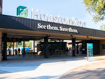
Nearby attractions include: Museum of Fine Arts, Houston Museum of Natural Science, Houston Zoo, McGovern Lake.
Frequently Asked Questions (FAQ)
Which popular attractions are close to Wendel D. Ley Track and Holloway Field?
Nearby attractions include James Turrell Skyspace at Rice University, Houston (7 min walk), Rice University, Houston (8 min walk), The TMC Library, Houston (8 min walk), Woodson Research Center, Houston (9 min walk).
How to get to Wendel D. Ley Track and Holloway Field by public transport?
The nearest stations to Wendel D. Ley Track and Holloway Field:
Light rail
Bus
Train
Light rail
- Dryden/TMC • Lines: Red (7 min walk)
- Memorial Hermann Hospital/Houston Zoo • Lines: Red (8 min walk)
Bus
- Shelter C • Lines: 2211 (8 min walk)
- TMC Transit Center (17 min walk)
Train
- Kinder Station (20 min walk)
- M. D. Anderson Station (24 min walk)

