Sycamore Valley Park, Danville
Map
Map

Facts and practical information
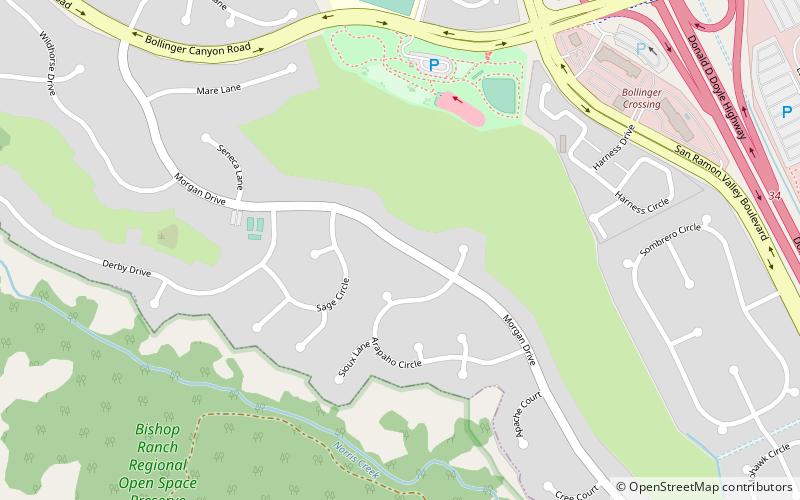
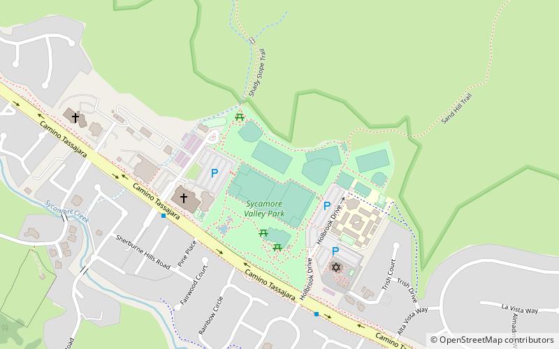
Sycamore Valley Park (address: 2101 Holbrook Dr) is a place located in Danville (California state) and belongs to the category of baseball field, trail, park.
It is situated at an altitude of 558 feet, and its geographical coordinates are 37°48'30"N latitude and 121°56'46"W longitude.
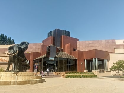
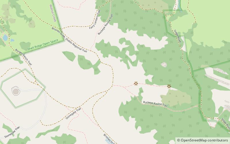
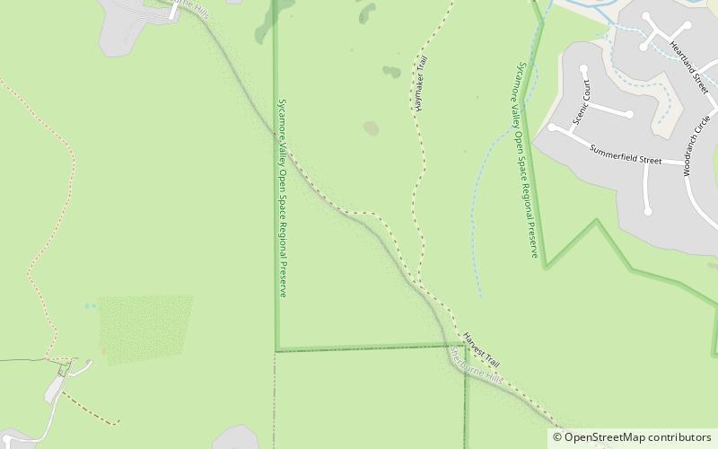
Among other places and attractions worth visiting in the area are: Sherburne Hills, San Ramon (nature, 20 min walk), Blackhawk Museum (museum, 43 min walk), Danville Library (library, 71 min walk).
Elevation: 558 ft a.s.l.Coordinates: 37°48'30"N, 121°56'46"W
Day trips
Sycamore Valley Park – popular in the area (distance from the attraction)
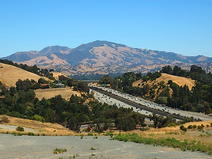
Nearby attractions include: Blackhawk Museum, Iron Horse Trail, Eugene O'Neill National Historic Site, Forest Home Farms.

