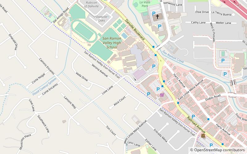
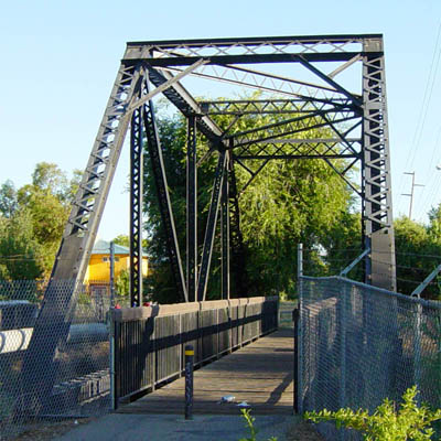
Iron Horse Trail, Danville

Gallery (2)
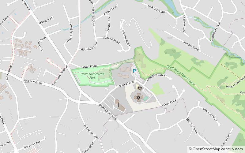
Map
Map
Gallery
Facts and practical information
The Iron Horse Regional Trail is a rail trail for pedestrians, horse riders and bicycles in the East Bay Area in California. ()
Elevation: 341 ft a.s.l.Coordinates: 37°49'26"N, 122°0'22"W
Day trips


Frequently Asked Questions (FAQ)
Which popular attractions are close to Iron Horse Trail?
Nearby attractions include Blackhawk Museum, Danville (10 min walk), Danville Library, Danville (18 min walk).