Corky Row Historic District, Fall River
Map

Gallery

Facts and practical information
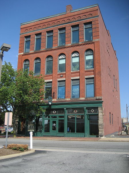
Corky Row Historic District is a historic district located in Fall River, Massachusetts bounded by Plymouth Avenue, Interstate-195 and Second Street. The district contains many early multi-family mill tenement houses, along with the Davol Mills, the Tecumseh Mill No. 1 and several commercial properties. ()
Area: 96 acres (0.15 mi²)Coordinates: 41°41'43"N, 71°9'23"W
Address
Corky RowFall River
ContactAdd
Social media
Add
Day trips
Corky Row Historic District – popular in the area (distance from the attraction)
Nearby attractions include: Saint Anne Parish, Narrows Center for the Arts, Lizzie Borden House, Fall River Government Center.
Frequently Asked Questions (FAQ)
Which popular attractions are close to Corky Row Historic District?
Nearby attractions include Cathedral of St. Mary of the Assumption, Fall River (7 min walk), Lizzie Borden House, Fall River (7 min walk), Lazer Gate, Fall River (9 min walk), Saint Anne Parish, Fall River (11 min walk).


