Strip District, Pittsburgh
Map
Gallery
Facts and practical information
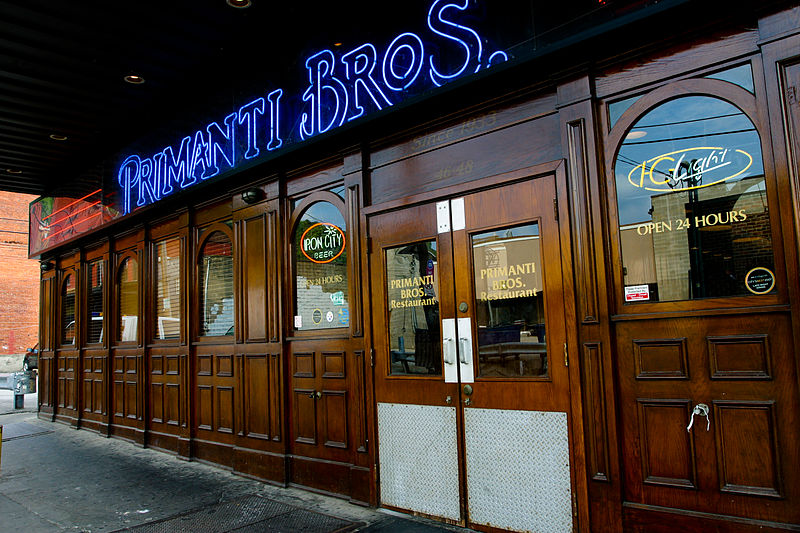
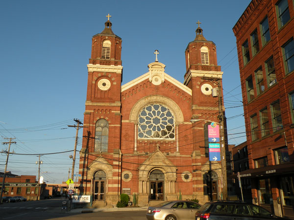
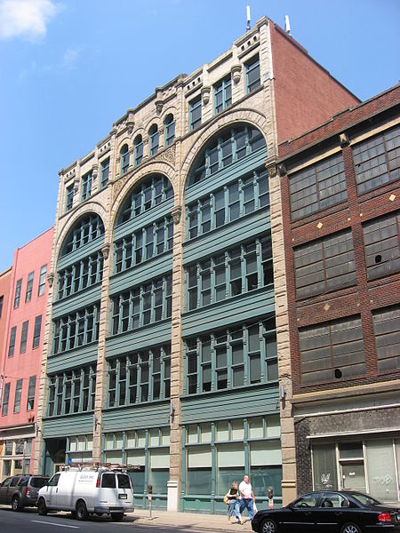
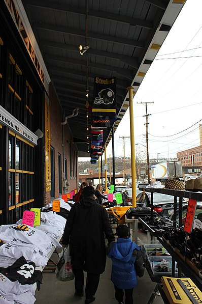
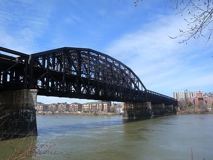
The Strip District is a neighborhood in Pittsburgh, Pennsylvania, United States. It is a one-half square mile area of land northeast of the central business district bordered to the north by the Allegheny River and to the south by portions of the Hill District. The Strip District runs between 11th and 33rd Streets and includes four main thoroughfares—Railroad Street/Waterfront Place, Smallman Street, Penn Avenue, and Liberty Avenue—as well as various side streets. ()
Area: 0.61 mi²Coordinates: 40°27'14"N, 79°59'3"W
Day trips
Strip District – popular in the area (distance from the attraction)
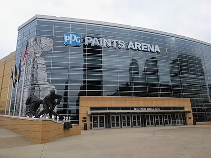
Nearby attractions include: PPG Paints Arena, Heinz History Center, August Wilson African American Cultural Center, Saint Anthony Chapel.
Frequently Asked Questions (FAQ)
Which popular attractions are close to Strip District?
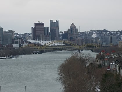
Nearby attractions include Armstrong Cork Company, Pittsburgh (3 min walk), St. Stanislaus Kostka Church, Pittsburgh (3 min walk), David McCullough Bridge, Pittsburgh (10 min walk), Liberty Avenue, Pittsburgh (12 min walk).
How to get to Strip District by public transport?
The nearest stations to Strip District:
Bus
Train
Light rail
Bus
- East Ohio St at Heinz St • Lines: 1, 2 (12 min walk)
- Penn Station D • Lines: 1, 71, Metro Commuter (19 min walk)
Train
- Pittsburgh Union Station (20 min walk)
Light rail
- Steel Plaza • Lines: Blue, Red, Silver (29 min walk)
- Wood Street • Lines: Blue, Red, Silver (30 min walk)


