National Veterans Memorial and Museum, Columbus
Facts and practical information
The National Veterans Memorial and Museum stands as a poignant tribute to the sacrifices and service of American veterans. Located in Columbus, Ohio, this institution is not only a museum but also a memorial that honors the brave men and women who have served in the United States Armed Forces.
Opened in October 2018, the National Veterans Memorial and Museum is a contemporary structure that features an innovative architectural design. Its unique circular shape and spiraling interior create a journey through the lives of veterans, as visitors are guided through exhibits that tell personal stories of service, duty, and sacrifice.
Unlike traditional war or military museums that focus on battles, weapons, or specific branches of the armed forces, the National Veterans Memorial and Museum places the emphasis on the human experience. It showcases the lives of veterans throughout history, offering insight into their experiences during and after their service. Exhibits include personal artifacts, letters, photos, and multimedia presentations, all designed to provide a deeper understanding of the veteran experience.
The museum also serves as a center for the veteran community, providing a space for events, ceremonies, and educational programs. It aims to foster a greater appreciation for the freedoms enjoyed in the United States and the individuals who have fought to protect those freedoms.
- Bus
 Bus
Bus
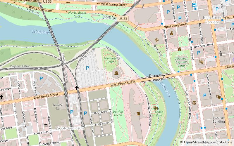
- Calculate routeMarconi Blvd & Long St 7 min walk
- Calculate routeW Broad St & S Front St 8 min walk
- Calculate routeS Front St & W Broad St 8 min walk
- Calculate routeN Front St & W Gay St 9 min walk


Frequently Asked Questions (FAQ)
Which popular attractions are close to National Veterans Memorial and Museum?
How to get to National Veterans Memorial and Museum by public transport?
Bus
- Marconi Blvd & Long St • Lines: 3, 4, 5, 6, 7, 8 (7 min walk)
- W Broad St & S Front St • Lines: 4, 5, 7 (8 min walk)