King Field, Minneapolis
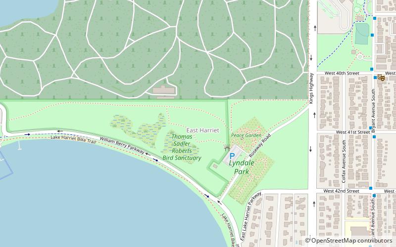
Map
Facts and practical information
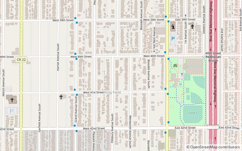
King Field is a neighborhood in the Southwest community in Minneapolis, Minnesota. Its boundaries are 36th Street to the north, Interstate 35W to the east, 46th Street to the south, and Lyndale Avenue to the west. King Field, within the King Field neighborhood is a park named after Dr. Martin Luther King Jr. ()
Area: 0.83 mi²Coordinates: 44°55'46"N, 93°16'52"W
Getting there by public transportation
Public transportation stops near this location
- Bus
 Bus
Bus
- Calculate route40 St W 13 min walk
- Calculate route41 St W 13 min walk
Day trips


Frequently Asked Questions (FAQ)
Which popular attractions are close to King Field?
Nearby attractions include Theodore Wirth House-Administration Building, Minneapolis (14 min walk), Hosmer Library, Minneapolis (20 min walk), East Harriet, Minneapolis (22 min walk), Lyndale Park, Minneapolis (22 min walk).
How to get to King Field by public transport?
The nearest stations to King Field:
Bus
Bus
- 40 St W • Lines: 4, 4B, 4G, 4L, 4P (13 min walk)
- 41 St W • Lines: 4, 4B, 4G, 4L, 4P (13 min walk)