Lake Harriet, Minneapolis
Map
Gallery
Facts and practical information
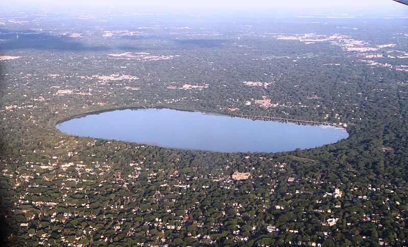
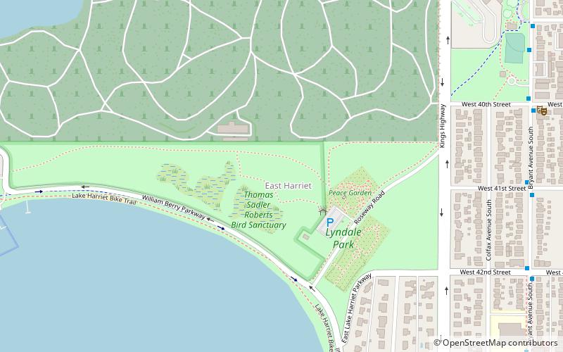
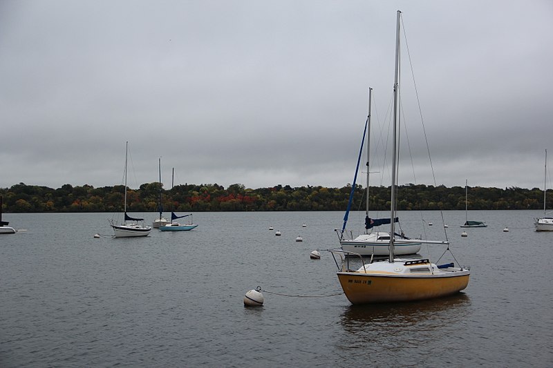
Lake Harriet is a lake in the southwest part of Minneapolis, just south of Bde Maka Ska and north of Minnehaha Creek. The lake is surrounded by parkland as part of the Minneapolis Chain of Lakes. The lake has an area of 335 acres and a maximum depth of 85 feet. ()
Area: 0.52 mi²Maximum depth: 85 ftElevation: 846 ft a.s.l.Coordinates: 44°55'19"N, 93°18'18"W
Address
4135 W Lake Harriet PkwySouthwest Minneapolis (Linden Hills)Minneapolis
Contact
+1 612 230 6400
Social media
Add
Day trips
Lake Harriet – popular in the area (distance from the attraction)
Nearby attractions include: Lyndale Park, The Bakken Museum, Lakewood Cemetery, Washburn Library.
Frequently Asked Questions (FAQ)
Which popular attractions are close to Lake Harriet?
Nearby attractions include Queen Avenue Bridge, Minneapolis (9 min walk), Minnesota Streetcar Museum, Minneapolis (10 min walk), Lyndale Park, Minneapolis (14 min walk), East Harriet, Minneapolis (15 min walk).
How to get to Lake Harriet by public transport?
The nearest stations to Lake Harriet:
Bus
Bus
- Newton Av S • Lines: 4, 4B, 4G, 4P (18 min walk)
- Logan Av S • Lines: 4, 4B, 4G, 4P (18 min walk)


