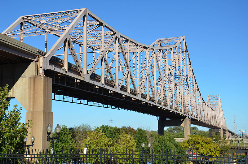
Martin Luther King Bridge, St. Louis
Map

Gallery

Facts and practical information
The Martin Luther King Bridge in St. Louis, Missouri, is a cantilever truss bridge of about 4,000 feet in total length across the Mississippi River, connecting St. Louis with East St. Louis, Illinois. Opened in 1951, the bridge serves as traffic relief connecting the concurrent freeways of Interstate 55, Interstate 64, and U.S. Route 40 with the downtown streets of St. Louis. It was renamed for King in 1968 after the national civil rights leader was assassinated that year. ()
Opened: 1951 (75 years ago)Length: 4009 ftWidth: 40 ftCoordinates: 38°37'52"N, 90°10'54"W
Address
Downtown St. LouisSt. Louis
ContactAdd
Social media
Add
Day trips
Martin Luther King Bridge – popular in the area (distance from the attraction)
Nearby attractions include: Gateway Arch, Museum of Westward Expansion, Old Courthouse, Busch Stadium.
Frequently Asked Questions (FAQ)
Which popular attractions are close to Martin Luther King Bridge?
Nearby attractions include Laclede's Landing, St. Louis (3 min walk), Eads Bridge, St. Louis (4 min walk), Lumière Place, St. Louis (6 min walk), Federal Reserve Bank of St. Louis, St. Louis (10 min walk).
How to get to Martin Luther King Bridge by public transport?
The nearest stations to Martin Luther King Bridge:
Light rail
Bus
Light rail
- Laclede's Landing • Lines: Blue, Red (5 min walk)
- Convention Center • Lines: Blue, Red (11 min walk)
Bus
- S • Lines: 4 (31 min walk)
- R • Lines: 41 (31 min walk)


