Martis Valley, Tahoe National Forest

Gallery (3)
Map
Map
Gallery
Facts and practical information
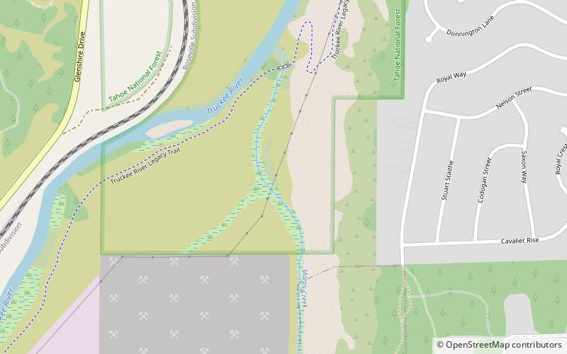
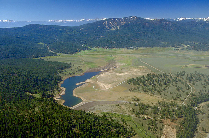
Martis Valley is a geographic area of 70 square miles in the United States, extending northward from the North Shore of Lake Tahoe, California, to the west of the California-Nevada border. It is located in Placer and Nevada Counties and is bisected by Martis Creek which flows north to the Truckee River. ()
Coordinates: 39°20'48"N, 120°7'5"W
Address
Tahoe National Forest
ContactAdd
Social media
Add
Day trips


