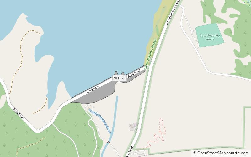
Boca Dam, Tahoe National Forest
Map

Map

Facts and practical information
Boca Dam is an earthfill dam and a part of the Truckee Storage Project that encompasses Nevada County, California and Washoe County, Nevada in the United States. Open year-round, it is located at the southern end of Boca Reservoir, 1 mi north of Interstate 80, 0.3 mi above the confluence of the Little Truckee River and the Truckee River, and 6 mi northeast of Truckee, California. Reno, Nevada lies 27 mi to the east. ()
Opened: 1939 (87 years ago)Length: 1629 ftHeight: 93 ftReservoir area: 1.53 mi²Coordinates: 39°23'25"N, 120°5'38"W
Address
Tahoe National Forest
ContactAdd
Social media
Add
Day trips
Boca Dam – popular in the area (distance from the attraction)
Nearby attractions include: Prosser Creek Dam, Martis Valley, Uprising Paragliding - Lake Tahoe / Reno, Boca Reservoir.


